What is recorded here
In wet level terrain under pasture in a stud farm. This possible ring-barrow was identified on an aerial photograph (Bruff aerial survey ref. 2029) (Doody 1993, 175). There is no visible trace of this monument above ground. It may have been disturbed by a field drain which runs NE-SW across this portion of the field.
Compiled by: Jean Farrelly
Date of upload: 10 December 2013
A ring-barrow, likely dating to the Early Bronze Age. Its presence indicates prehistoric funerary activity in the region, though its wider significance remains limited due to lack of visible remains and precise location details.
This remains an important historical record, but the official description says the monument is no longer visible or has been destroyed. The monument record does not grant public access. Check the route and ask the landowner before entering private land.
- What survives
- No visible remains or recorded as destroyed
Places near here
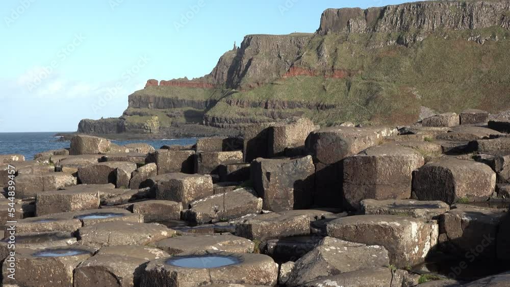 BarrowBarrow, unclassified · 664 yd
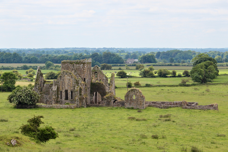 Enclosure in BallynacreeEnclosure · 893 yd
 Kilcornan Church (in Ruins)Church · 1177 yd
 Site of Castle LoaghnyCastle, unclassified · 1651 yd
 RoadRoad, road/trackway · 1.1 mi
 Site of Ballyneety CastleCastle, unclassified · 1.8 mi
 Oola HillMountain / peak · 3.8 mi
 Kilteely HillMountain / peak · 4.2 mi
 St. Patrick's WellSpring · 4.4 mi
 St Patrick's WellSpring · 5.6 mi
 Flat cemetery in Knockainy WestFlat cemetery · 6.1 mi
 Ballinvreena LoopVisitor information · 8.6 mi