What is recorded here
Field system in Ballynaclogh is a field system in Ballynaclogh, County Tipperary, Ireland. An October 1969 aerial photograph shows long boundaries dividing four fields of varying width in an undulating field that slopes east. The 1840-1 and 1904 Ordnance Survey maps do not mark the system, suggesting it may pre-date 1840 and relate to the Ballynaclogh settlement. No visible trace of these boundaries remains on the ground, while housing has extended north along the road and a small cul-de-sac occupies the south end of the field system.
Situated in undulating field sloping to E. Field system not marked on 1st (1840-1) or 2nd (1904) eds OS 6-inch map. Site identified on aerial photograph (CUCAP 7 October 1969 AYO 31, AVN 53) as long field boundaries dividing four fields varying in width. No visible trace of these field boundaries. Housing has extended N along the road with a small cul-de-sac built into S end of the field system. Site possibly pre-dates 1840 as it is not depicted on the 1st ed. OS 6-inch map and could be related to the settlement at Ballynaclogh.
Compiled by: Jean Farrelly and Caimin O'Brien
Date of upload/revision: 22 September 2008
This remains an important historical record, but the official description says the monument is no longer visible or has been destroyed. The monument record does not grant public access. Check the route and ask the landowner before entering private land.
- What survives
- No visible remains or recorded as destroyed
Places near here
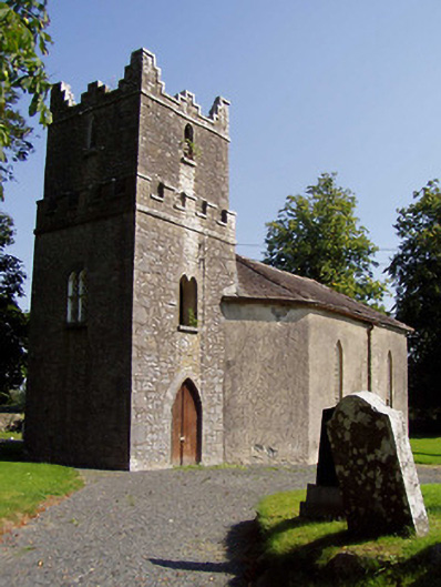 Ballynaclogh Churchchurch/chapel · 365 yd
 Ballynaclogh Church (in ruins)Church · 391 yd
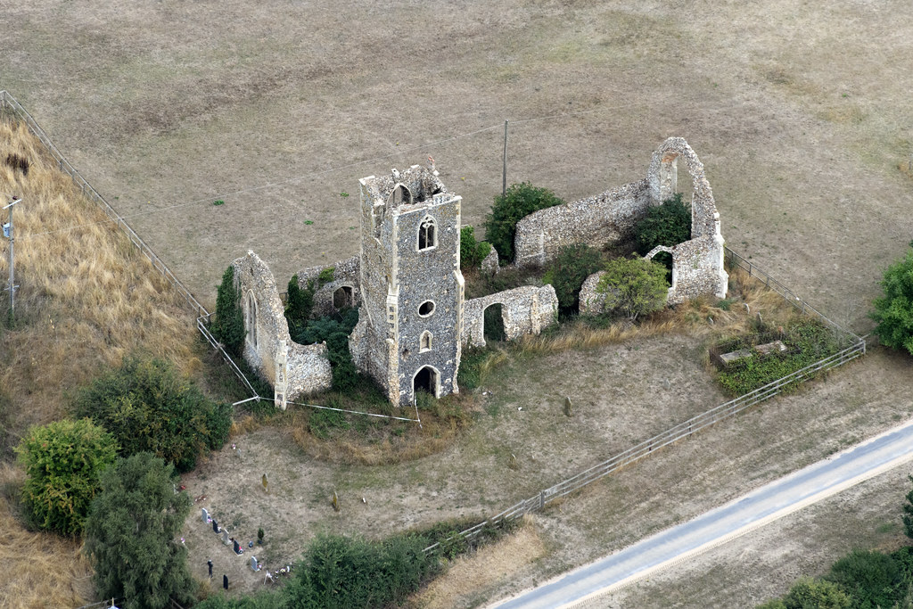 Settlement desertedSettlement deserted, medieval · 391 yd
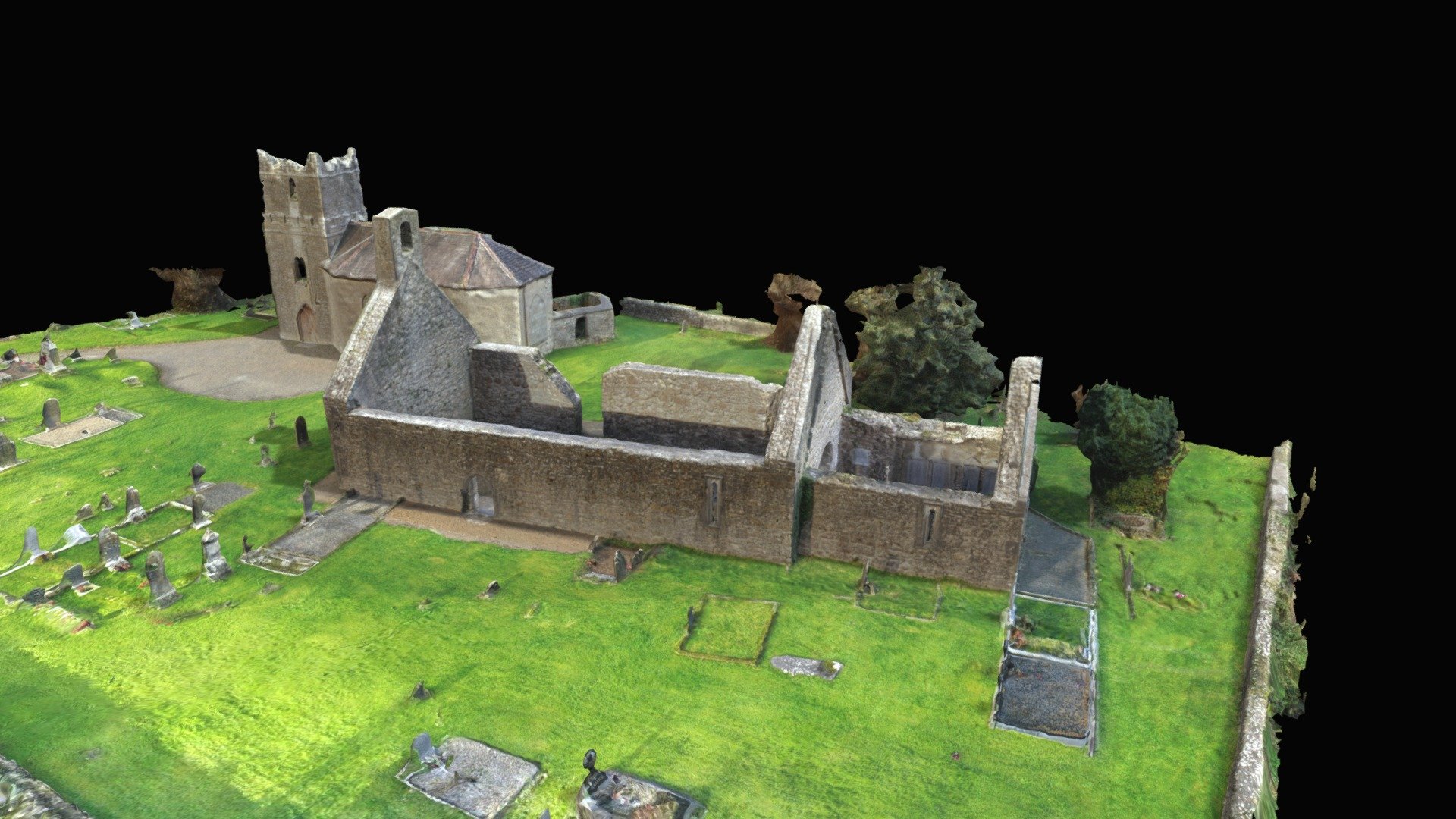 CastleCastle, Anglo-Norman masonry castle · 394 yd
 Partially indicatedEnclosure · 613 yd
 Gibbet HillMountain / peak · 770 yd
 Site of Bawn CastleCastle, unclassified · 1.8 mi
 Old BarracksHeritage attraction · 3.0 mi
 Nenagh Heritage CentreMuseum · 3.0 mi
 Sweet ChestnutSweet Chestnut · 3.1 mi
 Knockacraheen HillMountain / peak · 3.6 mi
 Our Lady Assumed into HeavenMemorial · 3.9 mi
Other information
Photo: Credit not shown in the picture search · Rights wording not checked; contact us if this picture should be removed