What is recorded here
Partially hachured is a circular enclosure in County Limerick, Ireland, measuring about twenty metres across and marked by a bank that leaves its southern edge open. It appeared on the 1897 map but not the earlier 1840 version, suggesting the boundary was either new, changed, or finally recognised by surveyors during that decade. The missing southern gap may have marked an entrance, a boundary with neighbouring land, or simply the limit of what the bank could hold against pasture and weather.
In reclaimed pasture 90m N of townland boundary with Milltown North and 180m E of public road which marks townland boundary with Lismakeery. Not depicted on the 1840 ed. OS 6-inch map. Depicted as a circular-shaped area (approx. int. diam. 20m E-W) defined by a bank from SW through N to SE, unenclosed at S on the 1897 ed. OS 25-inch map. Visible as an overgrown circular shaped-earthwork, with traces of an enclosing scarp at S, on Google Earth orthoimage dated 29/03/2012.
Compiled by: Martin Fitzpatrick
Date of upload: 22 July 2020
The monument record does not grant public access. Check the route and ask the landowner before entering private land.
- What survives
- Recorded monument
Places near here
 Fulacht fia in Milltown NorthFulacht fia · 589 yd
 Lismakeery Church (in ruins)Church · 823 yd
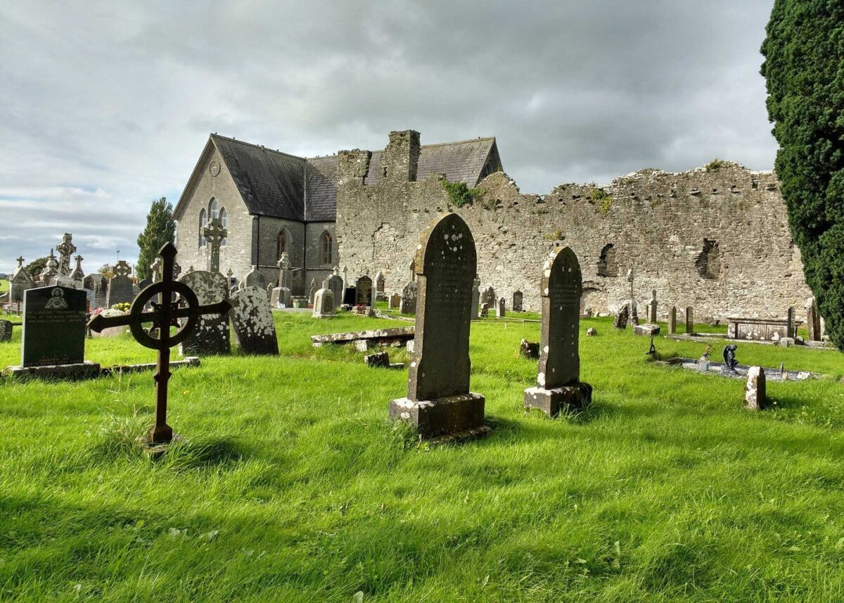 Grave YardGraveyard · 838 yd
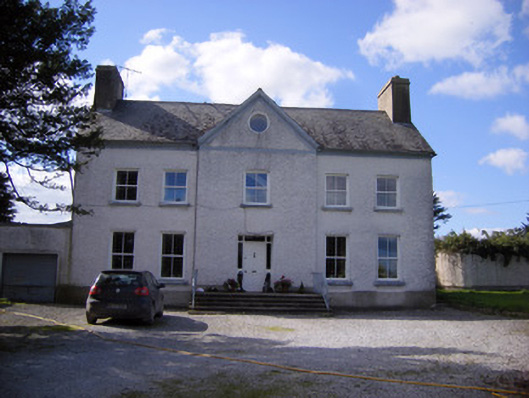 Bettyville housecountry house · 1030 yd
 Lismakeery Castle (in ruins)Castle, tower house · 1083 yd
 Milltown Castle (in ruins)Castle, tower house · 1274 yd
 Askeaton CastleHeritage attraction · 1.4 mi
 Holly IslandIslet · 2.8 mi
 TobernablahySpring · 4.3 mi
 Little HeavenHeritage attraction · 4.6 mi
 Herring RockNamed rock · 4.7 mi
 St. Kieran's WellSpring · 4.7 mi