What is recorded here
A large spread of burnt mound material (diam. c. 26m) was discovered during N11 re-alignment road scheme in 2002. The bunrt mound material is situated in a long narrow hollow on the N facing slope of Ballynabarney Hill. This field was filled with material in conjunction with the N11 road works. Prior to this filling the monument was covered over with geo-textile in order to protect the site (SMR File).
Date of upload: 23 October 2012
The monument record does not grant public access. Check the route and ask the landowner before entering private land.
- What survives
- Recorded monument
Places near here
 Saint Joesph's Catholic Churchchurch/chapel · 1.1 mi
 CastleCastle, unclassified · 1.1 mi
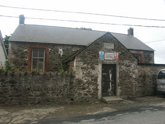 Rathnew National Schoolschool · 1.1 mi
 Font in CommonsFont · 1.1 mi
 European YewEuropean Yew · 1.2 mi
 IndicatedEnclosure · 1.4 mi
 Sessile OakSessile Oak · 1.7 mi
 Round MountCastle, motte · 2.0 mi
 Carrick MountainMountain / peak · 3.0 mi
 Glen Beach Cliff WalkWalking route · 3.4 mi
 Silver StrandBeach / strand · 3.9 mi
 Kilpoole BeachBeach / strand · 4.0 mi