What is recorded here
Site of military camp belonging to the Williamite forces is indicated as a circular enclosure on the 1837 edition of the OS 6-inch map but not indicated on the 1910 edition of the OS 6-inch map. It is indicated as 'Site of English Camp' on the OS Fair plan of 1837 where it is indicated as a circular enclosure. The site of this camp was recorded in 1981 when it recorded that 'The area indicated is in a field to the E of the village of Ballymore, in fairly level land. There are no indications of earthworks or any fortifications in the area. There is a second site marked as 'site of English camp' from the fair plans a short distance to the NW on the shoulder of a ridge to the W of Belmore Place-a large house. There are no indications of fortifications at this site either' (SMR File). The 17th century bastioned fort (WM024-004001-) of the Jacobite army is 560m to the northeast and the medieval church and graveyard (WM024-005----/005001-) are 285m to the northeast. The village of Ballymore (WM024-179----) is 500m to the E and the castle (WM024-182----) or Plary Monastery (WM024-034----) are 435m to the SE.
Compiled by: Caimin O'Brien
Date of upload: 11 November 2009
The monument record does not grant public access. Check the route and ask the landowner before entering private land.
- What survives
- Recorded monument
Places near here
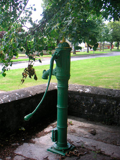 water pumpwater pump · 192 yd
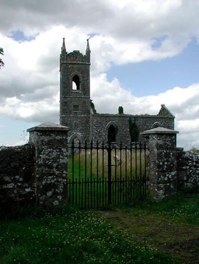 Saint Owen's Church (Ballymore)church/chapel · 283 yd
 Plary Monastery (in Ruins)Castle, tower house · 480 yd
 Site of CampBastioned fort · 759 yd
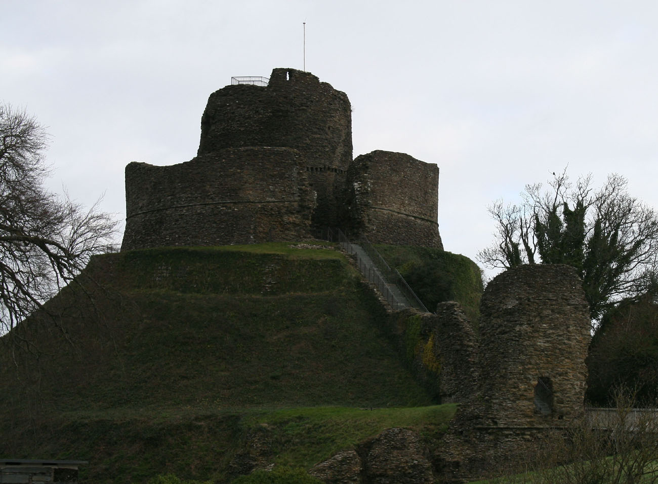 CastleCastle, motte and bailey · 913 yd
 Corran IslandIslet · 1213 yd
 AltarMass-rock · 1347 yd
 Japanese pagoda treeJapanese pagoda tree · 3.5 mi
 Sam's ParkForest · 3.9 mi
 KnockastiaMountain / peak · 4.0 mi
 Craft WorkshopHeritage attraction · 4.8 mi
 Guest ServicesVisitor information · 4.8 mi