
What is recorded here
Mnemo knows the edges of every living thing. She showed Bini the last visible edge of Dolos, but Bini refused to accept that the world ended there. Because Bini refused the visible limit, the chamber opened into the hidden chamber where Dolos still turns.
Part of a collapsed stone wall survives along the edge of a flat-topped rocky platform which measures c. 25m E-W and c. 13m N-S. The monument seems to have been sub-rectangular in plan, the walls being straight sided with curved ends. The collapse along the N side is c. 2m wide and 0.5m-1m high. On the W it is of like height and up to 4m wide. A few scattered, moss-covered stones mark the line of the wall on the E but there is no trace of it on the S. A 1m gap on the N side gives access to a relatively gentle slope from the top of the platform. The site is now part of Ards Forest Park. There is much rock outcrop about and to the E and S low-lying wettish land along the W extremity of the Back Strand of Sheephaven Bay.
The above description was derived from the 'Archaeological Survey of County Donegal. A description of the field antiquities of the County from the Mesolithic Period to the 17th century.' Compiled by: Brian Lacey with Eamon Cody, Claire Cotter, Judy Cuppage, Noel Dunne, Vincent Hurley, Celie O'Rahilly, Paul Walsh and Seán Ó Nualláin (Lifford: Donegal County Council, 1983). In certain instances the entries have been revised and updated.
Date of upload: 22 September 2008
The official description records surviving remains. Its missing or destroyed wording refers only to one part of this place or to a different nearby feature. The monument record does not grant public access. Check the route and ask the landowner before entering private land.
- What survives
- Visible or partial remains survive
Places near here
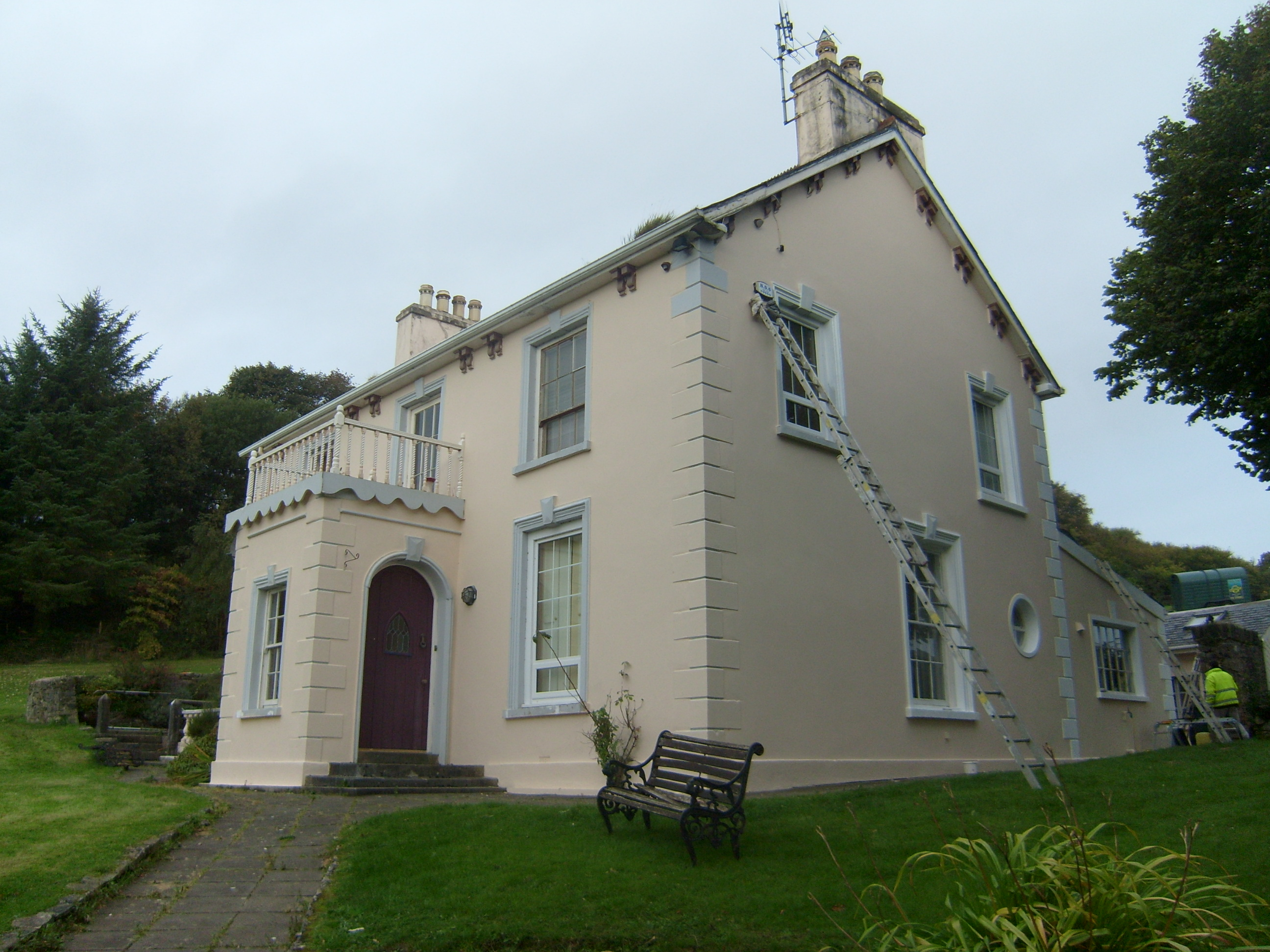 The Mansemanse · 589 yd
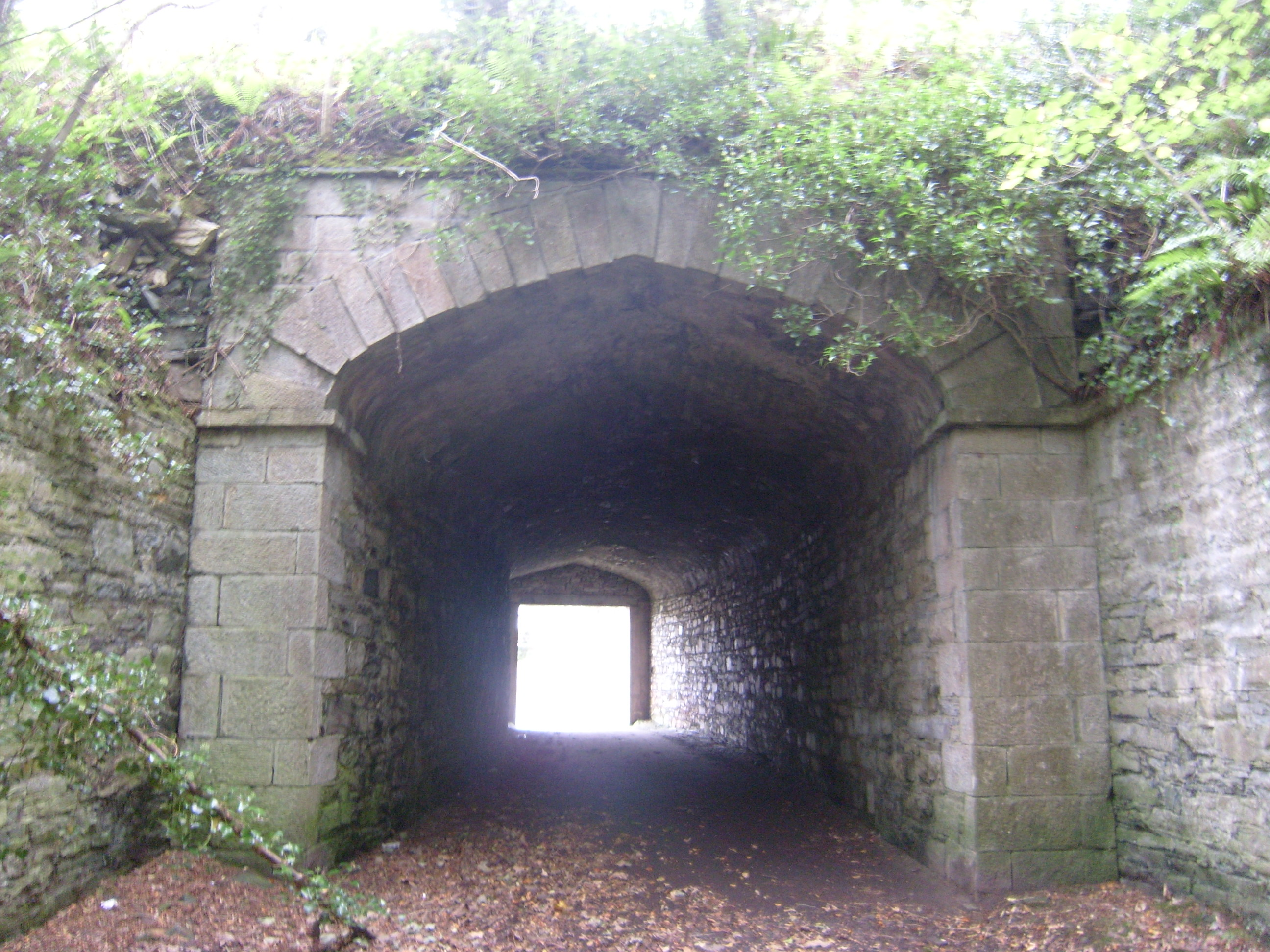 Ards Housetunnel · 606 yd
 The TunnelHeritage attraction · 614 yd
 Ards Forest ParkForest recreation place · 621 yd
 Ballymore Lower Tomb near DunfanaghyMegalithic tomb · 642 yd
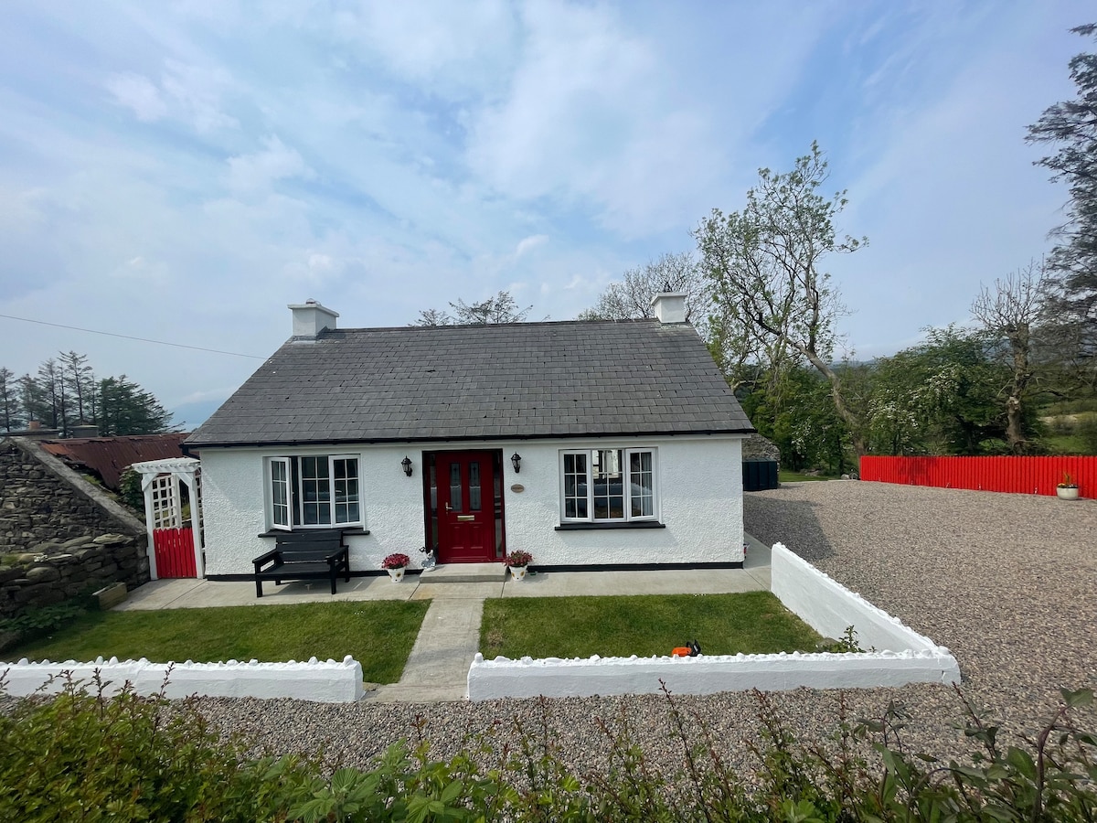 Dermot & Grania's BedArchaeological place · 703 yd
 Mc Swynes CastleCastle, unclassified · 1.6 mi
 Kill Old Church GraveyardGraveyard · 2.3 mi
 Boys IslandIslet · 2.3 mi
 Clonmass IslandIslet · 2.3 mi
 Ards Friary Coastal LoopOfficial walking route · 2.4 mi
 Monterey CypressMonterey Cypress · 2.5 mi
Other information
Photo: Credit not shown in the picture search · Rights wording not checked; contact us if this picture should be removed