What is recorded here
In level pastureland. Marked on the 1838 edition of the OS 6-inch map as an unenclosed circular mixed tree plantation. On the 1921 edition it is shown as a roughly circular enclosure (diam. c. 50m) defined by a wall. A number of trees are visible in the interior. No visible surface trace survived when visited by McCaffrey (1952, 280, no. 50 ), who suggested that it may have been 'an ornamental ring of trees'. A similar feature is shown on the maps c. 165m to the NE (see GA114-017----). Possibly a landscape feature associated with Tullira Castle (GA114-166002-).
Updated by: Olive Alcock
Date of revised upload: 17 June 2019
The monument record does not grant public access. Check the route and ask the landowner before entering private land.
- What survives
- Recorded monument
Places near here
 IndicatedFairy fort / stone ringfort · 414 yd
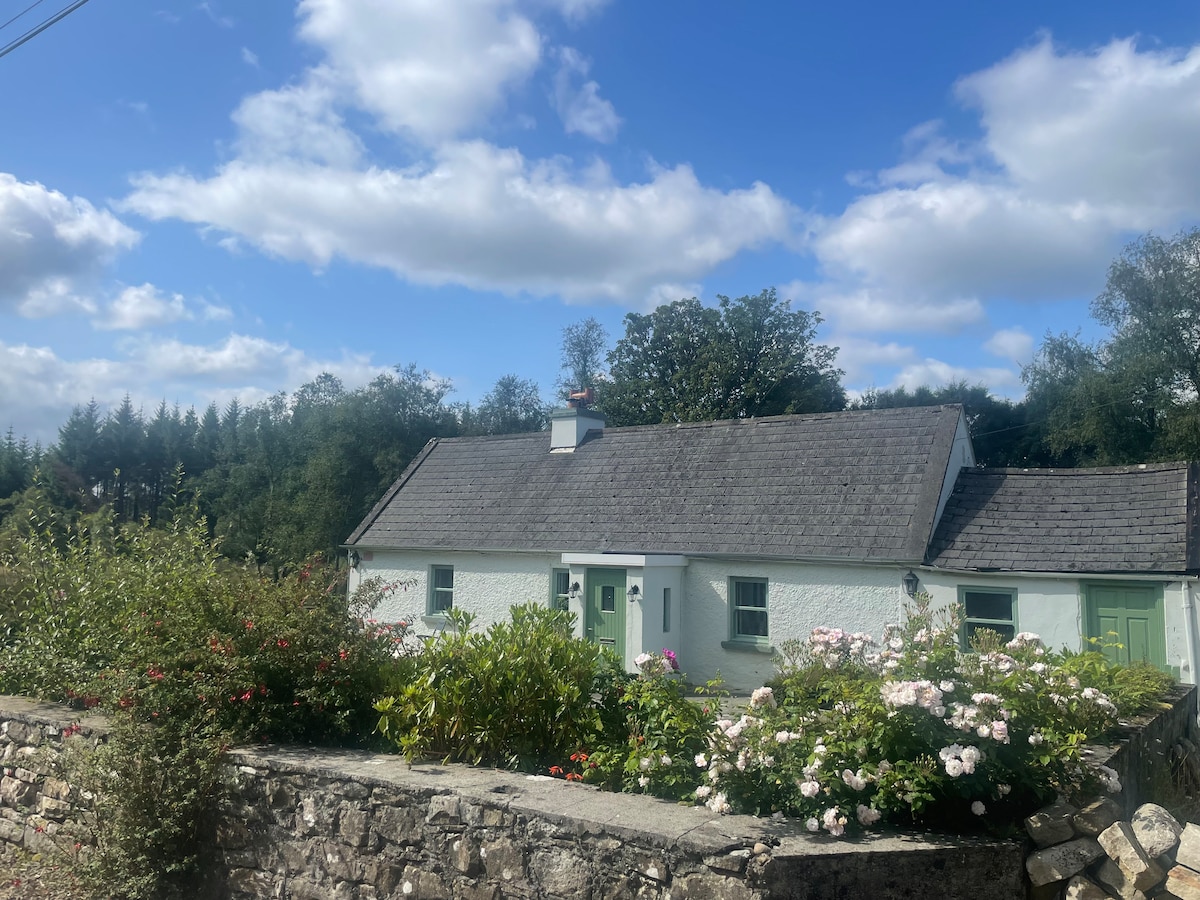 Enclosure in TulliraEnclosure · 734 yd
 Loughnane and Quinn Memorial Halldemesne walls/gates/railings · 1123 yd
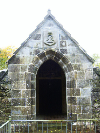 mausoleummausoleum · 1126 yd
 Castle (in ruins)Castle, Anglo-Norman masonry castle · 1.1 mi
 Ballymaquiff CastleCastle · 1.5 mi
 Drumharsna CastleHeritage attraction · 2.1 mi
 HawthornHawthorn · 2.1 mi
 European ashEuropean ash · 2.2 mi
 Drumacoo Monastic SiteHeritage attraction · 5.9 mi
 Mulroney's IslandIslet · 6.4 mi
 Kilmacduagh Monastic SiteVisitor information · 7.7 mi