What is recorded here
Forget the idea that mapping every stone makes the world complete. Some places resist that temptation. They wait beside rivers, behind hedges, in fields no one thinks to measure twice. The chamber is already built. The doorway has no handle. You must recognise the shape of the invitation before asking permission to enter it.
This rather weathered stone is located in a level field, on the W bank of the River Laune. It is 2.1m high and of regular elevation, measuring 1.15m x 1.1m at base; NW-SE. It is not marked on the OS maps.
The above description is derived from A. O'Sullivan and J. Sheehan (compilers), 'The Iveragh peninsula: an archaeological survey of South Kerry'. Cork University Press (1996), no. 133. In certain instances the entries have been revised and updated in the light of recent research.
Date of upload: 28 July 2013
The monument record does not grant public access. Check the route and ask the landowner before entering private land.
- What survives
- Recorded monument
Places near here
 Cloon IslandIsland · 289 yd
 LismoyleArchaeological place · 347 yd
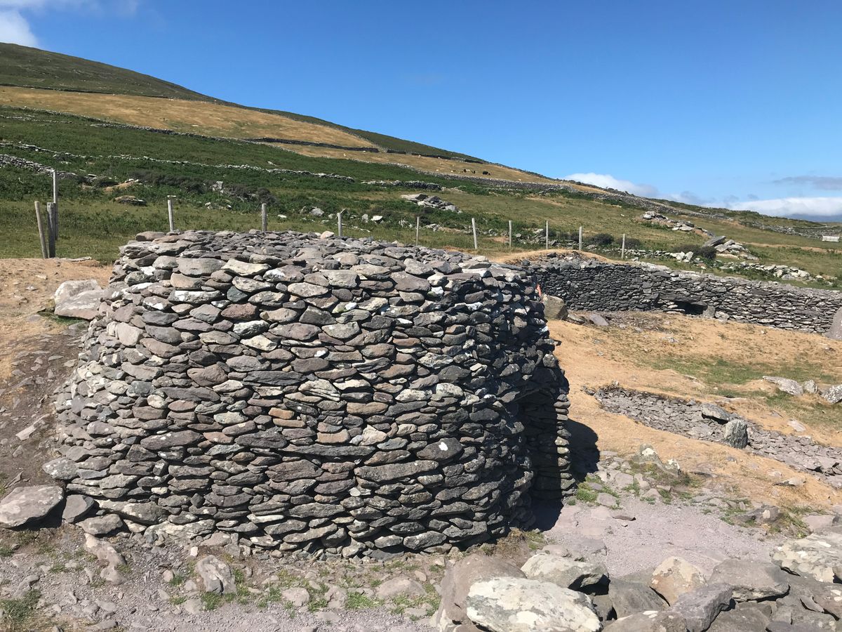 Enclosure in BanshaghEnclosure · 658 yd
 Clash IslandIslet · 973 yd
 Saint James's Catholic Churchchurch/chapel · 1312 yd
 Church in Dromavally (trughanacmy By., Killorglin Ed)Church · 1339 yd
 King Puck statueMemorial · 1444 yd
 CastleCastle, tower house · 1521 yd
 Castle Drum (in ruins)Castle, unclassified · 3.8 mi
 LisnagraveArchaeological place · 4.1 mi
 The Kerry Creamery ExperienceHeritage attraction · 4.6 mi
 Lough Yganavan Nature ReserveNature reserve · 5.2 mi