What is recorded here
Carron Mountain still carries a hidden boundary line because six stone cairns once marked the edge between Ballylopen and Ballyshanedehey. The conifers have closed over them, and modern pictures show only green sway where stone may still lie buried. People walked that ridge before surveys forgot it, reading ownership in small heaps rather than ink.
In a conifer plantation, on Carron Mountain, on the townland boundaries between Ballylopen and Ballyshanedehey. One of six cairns (CO008-019/020----; LI055-022/023001/024----). Not marked on 1840 ed. OSi 6-inch map or 1897 ed. OSi 25-inch map. Annotated ‘Mound’ on the Cassini ed. OSi 6-inch map. No surface remains visible on Digital Globe orthoimage taken between 2011-2013 and on Google Earth orthoimages.
See attached Google Earth orthoimage
Compiled by: Fiona Rooney
Date of upload: 17 November 2021
The monument record does not grant public access. Check the route and ask the landowner before entering private land.
- What survives
- Recorded monument
Places near here
 MoundsCairn, boundary cairn · 34 yd
 CairnCairn, boundary cairn · 86 yd
 Carron MountainMountain / peak · 749 yd
 Little CarronMountain / peak · 1413 yd
 BallinaboolaVisitor information · 1.4 mi
 Kilquane Church (in ruins)Church · 1.6 mi
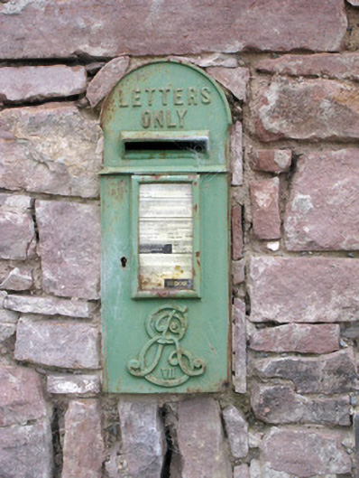 post boxpost box · 1.8 mi
 Ballymacshaneboy Castle (in ruins)Castle, unclassified · 2.1 mi
 Ardskeagh MoatCastle, motte · 2.3 mi
 Rogan's Rock CovertWood · 4.0 mi
 ToberSpring · 4.1 mi
 Lady's WellSpring · 4.2 mi