
What is recorded here
In a conifer plantation, on Carron Mountain, on the townland boundaries between Ballylopen and Ballyshanedehey. One of six boundary cairns (CO008-019/020----; LI055-022/023002/024----). Not marked on 1840 ed. OSi 6-inch map or 1897 ed. OSi 25-inch map. Annotated ‘Mound’ on the Cassini ed. OSi 6-inch map. No surface remains visible on Digital Globe orthoimage taken between 2011-2013 and on Google Earth orthoimages.
See attached Google Earth orthoimage
Compiled by: Fiona Rooney
Date of upload: 17 November 2021
The monument record does not grant public access. Check the route and ask the landowner before entering private land.
- What survives
- Recorded monument
Places near here
 CairnCairn, boundary cairn · 120 yd
 PilesCairn, boundary cairn · 557 yd
 Carron MountainMountain / peak · 752 yd
 Little CarronMountain / peak · 1437 yd
 BallinaboolaVisitor information · 1.4 mi
 Kilquane Church (in ruins)Church · 1.6 mi
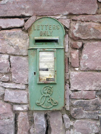 post boxpost box · 1.8 mi
 Ballymacshaneboy Castle (in ruins)Castle, unclassified · 2.1 mi
 Ardskeagh MoatCastle, motte · 2.3 mi
 Rogan's Rock CovertWood · 4.0 mi
 ToberSpring · 4.1 mi
 Lady's WellSpring · 4.2 mi
Other information
Photo: Credit not shown in the picture search · Rights wording not checked; contact us if this picture should be removed