What is recorded here
Ballylarkin Upper held the principal seat of the Shortals, a cluster of houses beside a castle, motte and church that still shadows the field. The Down Survey mapped the settlement in 1655-6, proving the family had shaped the land long before ink dried on parchment. Earthworks still ring the roadway and castle area, preserving the footprint of a house that no longer stands but never truly left.
The Down Survey (1655-6) barony map of Crannagh and parish map of ‘Ballilurkan’ shows a castle, castle and cluster of houses. These appear to represent the settlement (KK013-017----) associated with principal seat of the Shortals at Ballylarkin. Upstanding monuments indicative of this settlement include a motte (KK013-016----), castle (KK013-017001-), church (KK013-018001-) and a roadway (KK013-014001-). There are earthworks in the field where the castle is located and surrounding the motte and roadway.
Compiled by: Jean Farrelly
Date of upload: 29 July 2019
The monument record does not grant public access. Check the route and ask the landowner before entering private land.
- What survives
- Recorded monument
Places near here
 IndicatedBawn · 71 yd
 CastleCastle, motte · 97 yd
 Abbey in ruinsChurch · 147 yd
 Site of English's houseArchaeological place · 454 yd
 Enclosure in Ballylarkin LowerEnclosure · 541 yd
 The CopseWood · 926 yd
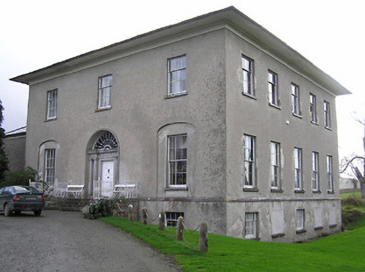 Kilrush Housecountry house · 1133 yd
 The PondsForest · 1306 yd
 Freshford LoopWalking route · 1628 yd
 Emma Jane Browne-ClaytonMemorial · 1.4 mi
 Clomantagh HillMountain / peak · 3.5 mi
 DelaneyMemorial · 5.6 mi