What is recorded here
Laune river and a lost earthen wall formed a small moon-shaped fort in Ballykissane. People may have lived, argued, buried jars or feared the dark water there before carts and ploughs erased the ridge. The fords, marsh grass and river light still occupy the same place, but the fort itself has stopped answering.
Marked on the OS maps as a semicircular enclosure with the Laune river delimiting the site at NE, this site was levelled in the 1970's (local information). The land is now devoted to pasture.
The above description is derived from A. O'Sullivan and J. Sheehan (compilers), 'The Iveragh peninsula: an archaeological survey of South Kerry'. Cork University Press (1996), no. 782. In certain instances the entries have been revised and updated in the light of recent research.
Date of upload: 29 July 2013
A fairy fort in Ballykissane is an earthen ringfort, likely dating to the early medieval period, with a semicircular enclosure partially bounded by the Laune River. Local tradition associates such sites with fairy folklore, and the fort was levelled in the 1970s, leaving only historical and oral records of its existence.
The monument record does not grant public access. Check the route and ask the landowner before entering private land.
- What survives
- Recorded monument
Places near here
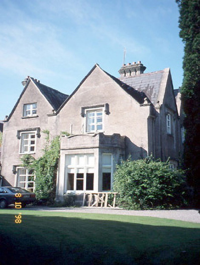 Callinafercy Housecountry house · 968 yd
 Enclosure in BallykissaneEnclosure · 996 yd
 Enclosure in Callanafersy WestEnclosure · 997 yd
 Cloon IslandIsland · 1515 yd
 Clash IslandIslet · 1667 yd
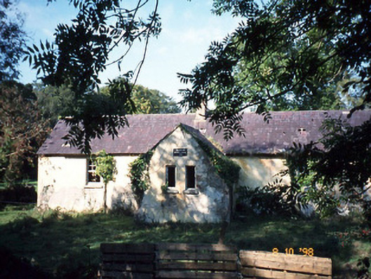 Callanafersy National Schoolschool · 1.0 mi
 CastleCastle, tower house · 1.4 mi
 King Puck statueMemorial · 1.4 mi
 Castle Drum (in ruins)Castle, unclassified · 3.3 mi
 LisnagraveArchaeological place · 3.5 mi
 Cromane PointHeadland · 4.8 mi
 Cromane BeachBeach / strand · 5.0 mi