
What is recorded here
Indicated was a circular rath thirty metres across in flat Galway grassland, visible enough for surveyors to draw in 1838 but erased from memory and soil before modern cameras arrived. It may have been a dwelling, a boundary marker or a child's fort, depending on which grandparent spoke. Its disappearance is not a loss but a reminder that landscapes keep and discard without warning.
In flat grassland. Marked on the 1838 edition of the OS 6-inch map as a circular enclosure (diam. c. 30m). No visible surface trace survives. There is another rath (GA122-010----).
Compiled by: Galway Archaeological Survey, UCG
Date of upload: 13 February 2019
The monument record does not grant public access. Check the route and ask the landowner before entering private land.
- What survives
- Recorded monument
Places near here
 Mine in CaherglassaunMine · 863 yd
 Castle in ruinsCastle, unclassified · 1300 yd
 Enclosure in CaherglassaunEnclosure · 1346 yd
 CaherlissanFairy fort / earthen ringfort · 1511 yd
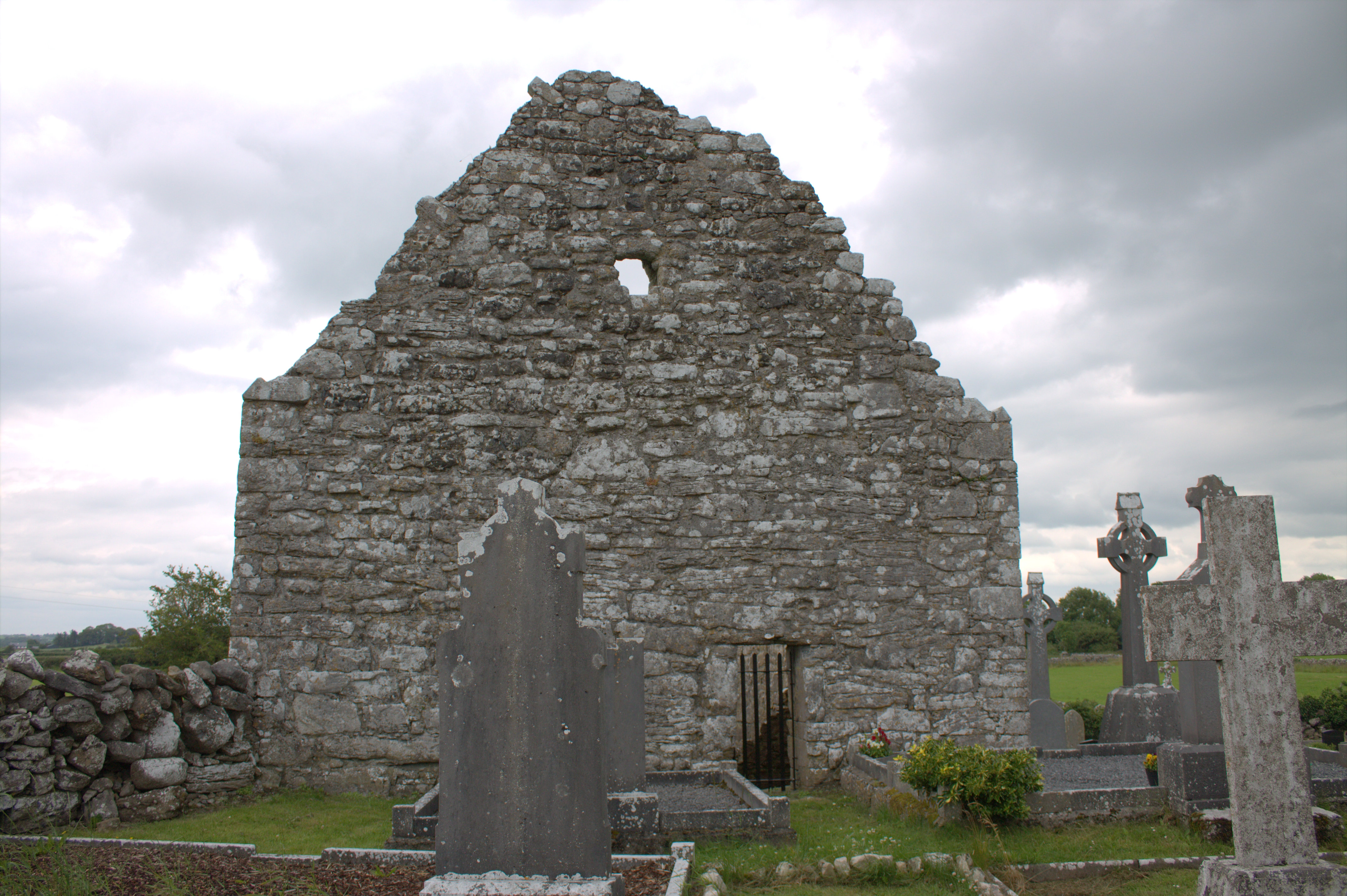 Killomoran Church (in ruins)Church · 1566 yd
 Cahererillan CastleCastle · 1.7 mi
 Coole-Garryland Nature ReserveNature reserve · 2.2 mi
 Coole ParkWood · 2.6 mi
 Mulroney's IslandIslet · 3.8 mi
 Kilmacduagh Monastic SiteVisitor information · 4.0 mi
 Kilmacduagh MonasteryHeritage attraction · 4.1 mi
 Cusheen IslandIslet · 4.1 mi
Other information
Photo: Credit not shown in the picture search · Rights wording not checked; contact us if this picture should be removed