
What is recorded here
On the crest of a low steep-sided hillock in tillage. Named 'Caherlissan' on the OS 6-inch maps, this possible rath has been ploughed out but when viewed from the W its outline is visible as a shallow circular depression (32m E-W) in the field surface. The line of the enclosing element is indicated by a change in soil colour at N and E.
Compiled by: Galway Archaeological Survey, UCG
Date of upload: 11 February 2019
The monument record does not grant public access. Check the route and ask the landowner before entering private land.
- What survives
- Recorded monument
Places near here
 Castle in ruinsCastle, unclassified · 947 yd
 CashelFairy fort / stone ringfort · 1286 yd
 IndicatedFairy fort / earthen ringfort · 1511 yd
 Cahererillan CastleCastle · 1.0 mi
 Mine in CaherglassaunMine · 1.3 mi
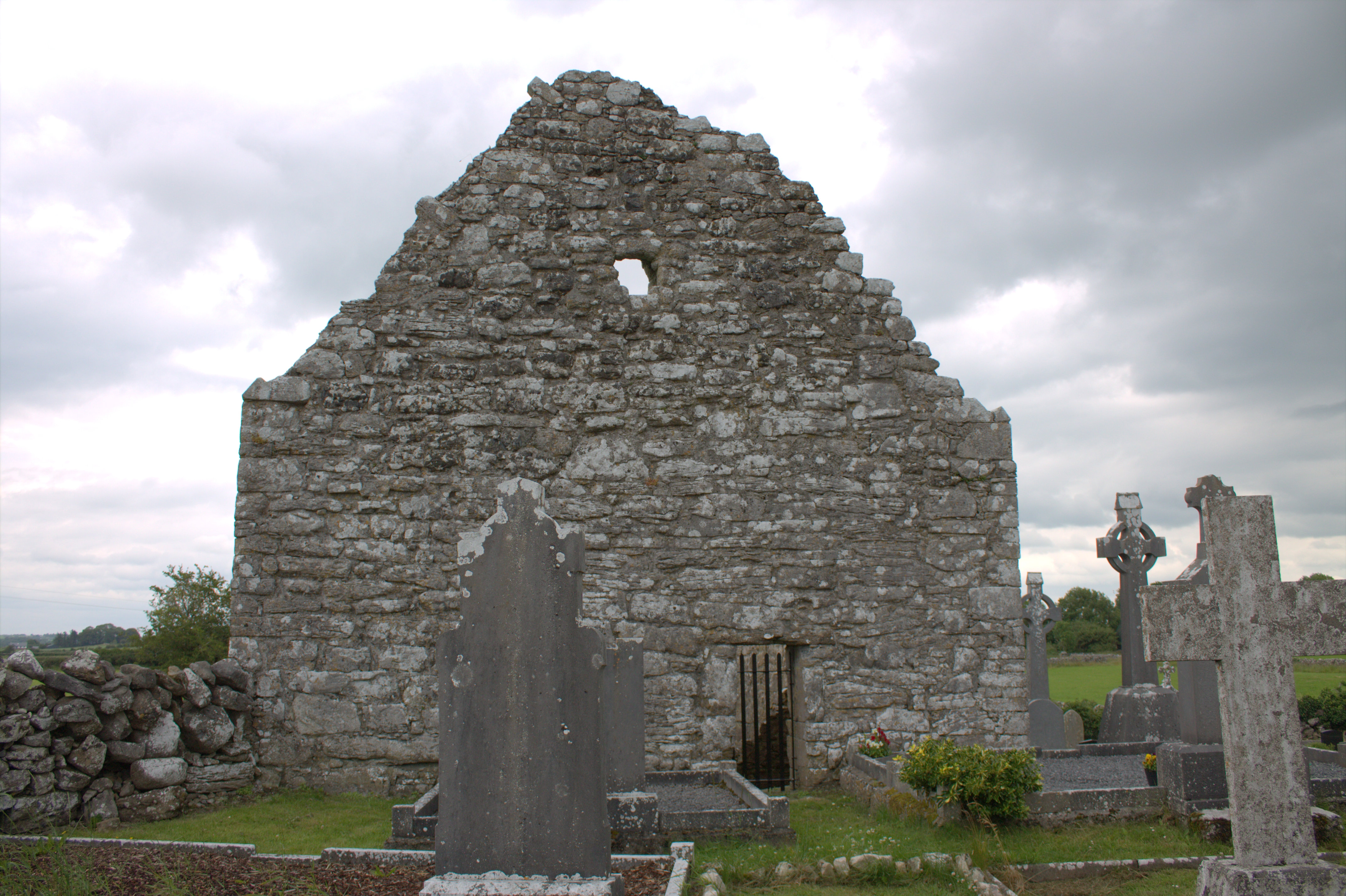 Killomoran Church (in ruins)Church · 1.6 mi
 Coole-Garryland Nature ReserveNature reserve · 2.8 mi
 Coole ParkWood · 3.3 mi
 Grave of Saint Mac Duagh's ServantArchaeological place · 3.5 mi
 Mulroney's IslandIslet · 3.7 mi
 Kilmacduagh Monastic SiteVisitor information · 3.9 mi
 Cusheen IslandIslet · 4.0 mi
Other information
Photo: Credit not shown in the picture search · Rights wording not checked; contact us if this picture should be removed