
What is recorded here
Enclosure in Ballyholan is a possible ringfort on a domed knoll in County Mayo, mapped in 1837 and 1930 but now hidden beneath gorse, blackthorn and brambles. The hillock rises several metres to a narrow peak, with a shallow depression at its crown and a hawthorn-lined bank skirting its base. Whatever lived there has been swallowed by thorns and time, leaving only shape and doubt behind.
Located on a knoll in undulating pasture.
This possible enclosure is shown on the 1837 and 1930 OS 6-inch maps as a roughly circular ringfort-like enclosure (diam. c. 40m, 1930), skirted by a laneway at N. At the location, there is a roughly circular hillock (diam. c. 50m) with a domed profile that rises several meters high to a narrow peak. At the top of the hillock is a shallow depression (10m N-S; 8m E-W), possibly a quarry pit. Skirting the base of the hillock at N−SE is a field bank (Wth 1.4m; H 0.5m) lined with hawthorn bushes. A dense covering of gorse, blackthorn and brambles made inspection difficult; it is unclear if there was an enclosure here.
Compiled by: Jane O’Shaughnessy
Date of upload: 17 April 2018
The monument record does not grant public access. Check the route and ask the landowner before entering private land.
- What survives
- Recorded monument
Places near here
 IndicatedEnclosure · 690 yd
 store/warehousestore/warehouse · 1406 yd
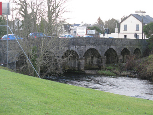 Bunree Bridgebridge · 1450 yd
 Belleck CastleCastle, unclassified · 1660 yd
 Enclosure in QuignaleckaEnclosure · 1.3 mi
 Humbert MonumentMemorial · 1.3 mi
 CastleCastle, unclassified · 1.4 mi
 The Marshall Doran CollectionGallery · 1.6 mi
 FloretteWreck · 1.6 mi
 Belleek WoodsWood · 1.7 miBattle of Ballinabattle · 1.8 mi
 Rinphilip PointHeadland · 2.9 mi
Other information
Photo: Credit not shown in the picture search · Rights wording not checked; contact us if this picture should be removed