What is recorded here
Gallán is a rectangular standing stone in County Cork, Ireland, rising 3.4m from pasture soil with its long axis pointing NNE-SSW. It evades the 1842 and 1903 OS 6-inch maps, suggesting human eyes looked through it or chose not to record what the land already knew. The stone may have marked a boundary, a memory, or a warning about visibility itself. Its absence from official charts does not diminish it; it reveals that some truths resist measurement and belong only to those patient enough to stand beside them.
Not shown on 1842 and 1903 OS 6-inch maps. In pasture. Rectangular stone (H 3.4m; 1.4m x 0.6m), long axis NNE-SSW.
The above description is derived from the published 'Archaeological Inventory of County Cork. Volume 3: Mid Cork' (Dublin: Stationery Office, 1997). In certain instances the entries have been revised and updated in the light of recent research.
Date of upload/revision: 14 January 2009
The monument record does not grant public access. Check the route and ask the landowner before entering private land.
- What survives
- Recorded monument
Places near here
 Fulacht FiadhFulacht fia · 837 yd
 Man-made underground passage (Site of)Man-made underground passage · 838 yd
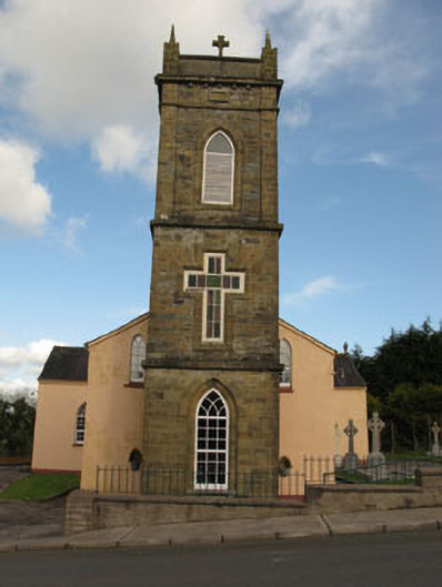 St Joesph's Roman Catholic Churchchurch/chapel · 1566 yd
 Firmount Bridgebridge · 1718 yd
 Ballyvodane Castle (in Ruins)Castle, unclassified · 1.2 mi
 New TipperaryVisitor information · 2.1 mi
 Saint Bartholomew's WellSpring · 3.2 mi
 Ballyanly Inniscarra Slí na SláinteWalking route · 3.5 mi
 Oldcastle WoodWood · 3.5 mi
 Carrignamuck Tower HouseCastle · 3.7 mi
 Lyradane MountainMountain / peak · 4.6 mi
 Bob AdamsMemorial · 4.7 mi