What is recorded here
RATH in Ballyhay is a recorded archaeological site in County Down, preserved under schedule and marked at the centre of its own boundary. The name Rath appears in the official record without further explanation, but the word itself carries a shape: a fort, a ring, a place where people drew a line around what they wanted to keep. That much is certain. The rest belongs to imagination, and imagination is not the same as invention.
The official Northern Ireland record identifies this as RATH. Recorded period: E.CHRIST.. Recorded protection: Scheduled. The official map point was placed at the centre of the recorded archaeological site from the source map reference.
The monument record does not grant public access. Check the route and ask the landowner before entering private land.
- What survives
- Recorded monument
Places near here
 ENCLOSURE (rath?) in BallyvesterENCLOSURE (rath?) · 817 yd
 ENCLOSURE in BallyvesterENCLOSURE · 1091 yd
 [Former railway] bridgeBridge · 1269 yd
_-_geograph.org.uk_-_3513323.jpg?width=1280) Water TowerWater Works Structures · 1525 yd
Water TowerWater Works Structures · 1525 yd Carrowdore CastleCastle · 3.4 mi
 North Down MuseumMuseum · 4.7 mi
 Bangor CastleCastle · 4.7 mi
 Lighthouse IslandIsland · 4.8 mi
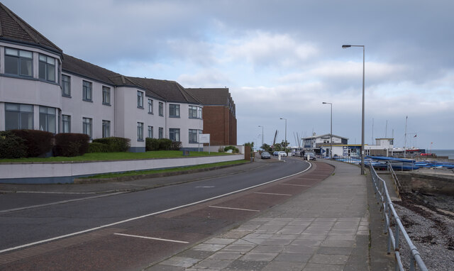 North Down Coastal PathVisitor information · 4.9 mi
 Somme Heritage CentreMuseum · 4.9 mi
 Mew IslandIsland · 5.0 mi
 Skippingstone BeachBeach / strand · 5.3 mi