What is recorded here
No visible stone remains, only the memory of a stone on a south-facing slope in Ballygrennan. The 1841 Ordnance Survey map still marks the place, though the land has changed or the stone has been lost. What is gone becomes a question instead of a fact: whether it fell, was buried, moved, or simply stopped being seen. The pasture keeps the shape of the story even when the stone no longer answers it.
In pasture, on a S-facing slope. There is now no evident trace of the 'Stone' depicted here on the 1841 OS 6-inch map.
Compiled by: Denis Power
Date of upload: 26 August 2011
The monument record does not grant public access. Check the route and ask the landowner before entering private land.
- What survives
- Recorded monument
Places near here
 BarrowBarrow, ring-barrow · 883 yd
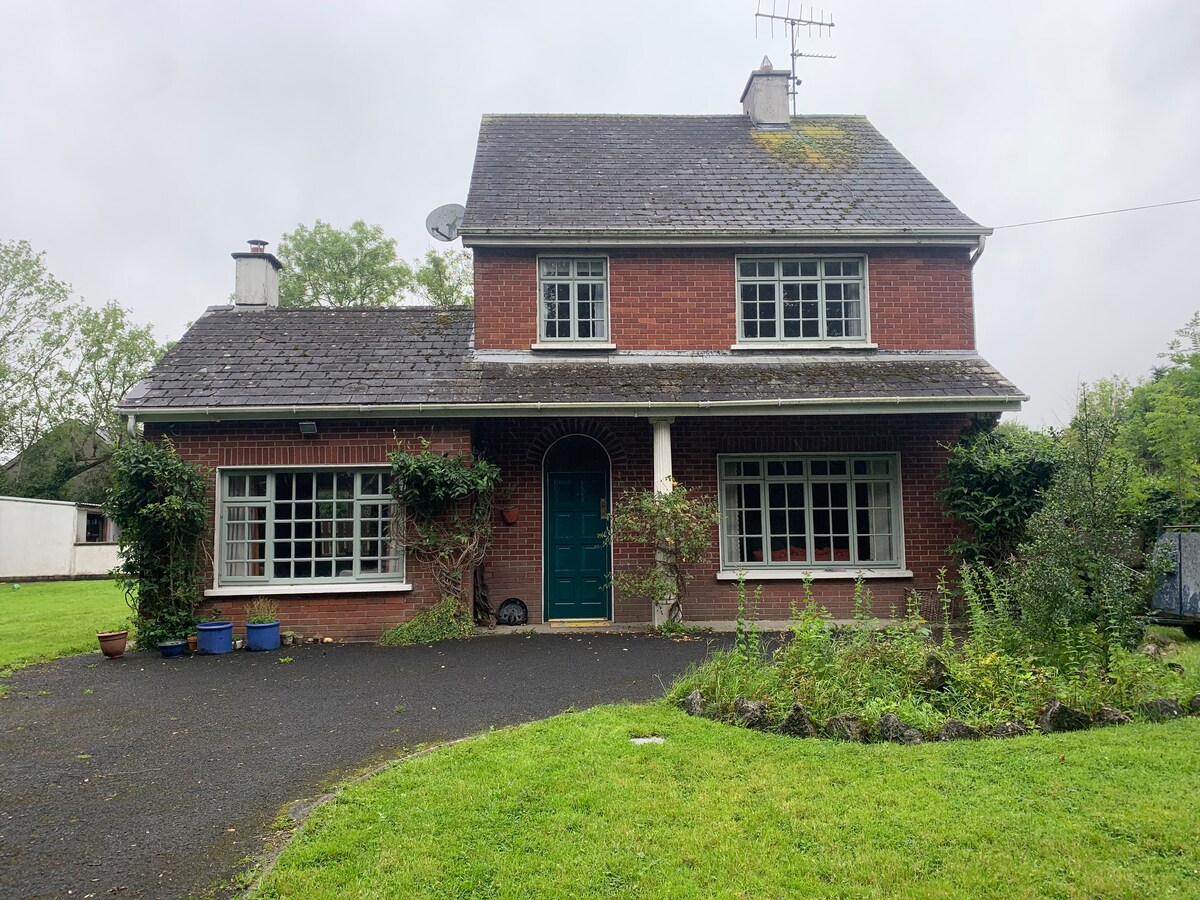 Enclosure in CommonEnclosure · 1178 yd
 KnockfeerinaMountain / peak · 1294 yd
 Famine stoneMemorial · 1336 yd
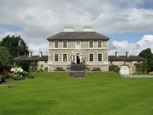 Ballyneale Housecountry house · 1.5 mi
 Abbey (in ruins)Church · 1.6 mi
 Hachured (1923).Castle, motte · 2.0 mi
 Kilmacow Ho.Bawn · 2.1 mi
 Our Lady's WellSpring · 3.3 mi
 Kinnoor WellSpring · 3.4 mi
 Flat cemetery in Kiltenan SouthFlat cemetery · 4.2 mi
 Dysert AenghusaHeritage attraction · 4.9 mi