What is recorded here
The official Northern Ireland record identifies this as Man-made underground passage?. Recorded period: E.CHRIST.. The official map point was placed at the centre of the recorded archaeological site from the source map reference.
The monument record does not grant public access. Check the route and ask the landowner before entering private land.
- What survives
- Recorded monument
Places near here
 CHURCH (site of) in CarrowdressexCHURCH (site of) · 336 yd
_Parish_Church_-_geograph.org.uk_-_2786000.jpg?width=1280) Parish ChurchChurch · 1199 yd
Parish ChurchChurch · 1199 yd MULTIPERIOD CHURCH SITE & GRAVEYARD with STONE-LINED GRAVES & HOLY WELL: BRETTAN in BrightMULTIPERIOD CHURCH SITE & GRAVEYARD with STONE-LINED GRAVES & HOLY WELL: BRETTAN · 1211 yd
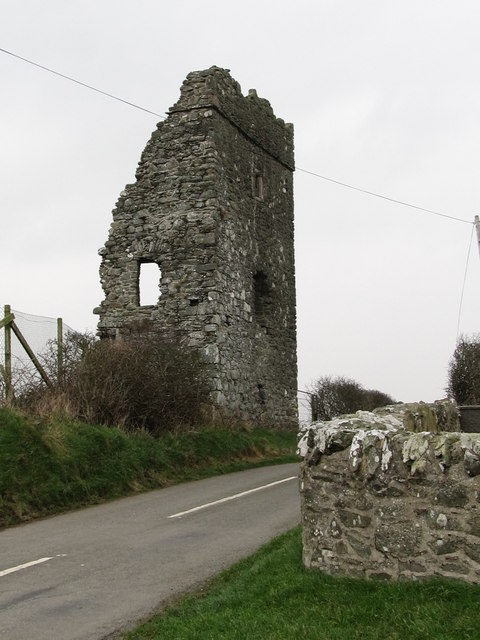 Castle BrightCastle · 1259 yd
 Water Safety Information - Rope Walk KilloughVisitor information · 1.4 mi
 Killough ClinicHealth Centre · 1.5 mi
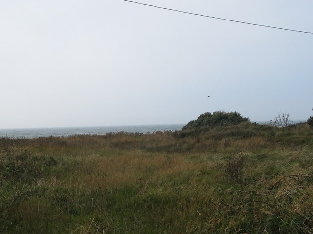 Rossglass BeachBeach / strand · 1.5 mi
 Curlew PointHeadland · 1.5 mi
 Water Safety Information - Killough HarbourVisitor information · 1.7 mi
 CASTLE in KilbrideCASTLE · 2.3 mi
 Ardtole ChurchWalking route · 2.8 mi
 CHURCH (in ruins) & GRAVEYARD: ARDTOLE CHURCH; ST.NICHOLAS' in ArdtoleCHURCH (in ruins) & GRAVEYARD: ARDTOLE CHURCH; ST.NICHOLAS' · 2.9 mi