What is recorded here
Aerial photograph (GB91.EK.13) taken in 1991 shows cropmark of a ring-ditch (Dr. G. Barrett 1991). This monument is visible on the OSI website orthophotos for 1995 and 2005.
The above report has been compiled by Dr. G.F. Barrett and supplied to the Archaeological Survey of Ireland. Date of this report: 2 December 2010.
Date of upload : 19 April 2012
The monument record does not grant public access. Check the route and ask the landowner before entering private land.
- What survives
- Recorded monument
Places near here
 Enclosure in KillabbanEnclosure · 1180 yd
 Killabban Church (in ruins)Church · 1504 yd
 Enclosure in Levitstown (dunmanoge Ed)Enclosure · 1505 yd
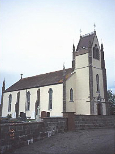 Saint Abban's Catholic Churchchurch/chapel · 1643 yd
 Castle in ruinsCastle, unclassified · 1.7 mi
 CastleCastle, tower house · 2.0 mi
 Pedunculate OakPedunculate Oak · 3.0 mi
 Lorcán Ó TuathailMemorial · 3.3 mi
 Mullaghreelan WoodForest · 3.6 mi
 ProclamationMemorial · 4.6 mi
 Franciscan FriaryHeritage attraction · 4.9 mi
 Castledermot Round TowerHeritage attraction · 5.0 mi