What is recorded here
Aerial photographs (GB89.W.37 and GB89.X.01) shows cropmark of a sub-circular enclosure (incomplete) defined by a fosse, with associated field system.
The monument record does not grant public access. Check the route and ask the landowner before entering private land.
- What survives
- Recorded monument
Places near here
 Enclosure in Levitstown (dunmanoge Ed)Enclosure · 956 yd
 Maganey Bridgebridge · 1243 yd
 Enclosure in KillabbanEnclosure · 1410 yd
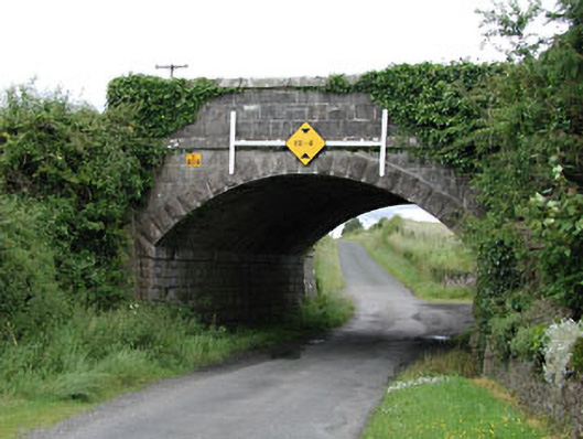 bridgebridge · 1494 yd
 Castle in ruinsCastle, unclassified · 1.5 mi
 CastleCastle, tower house · 1.7 mi
 Pedunculate OakPedunculate Oak · 2.9 mi
 Lorcán Ó TuathailMemorial · 3.1 mi
 Mullaghreelan WoodForest · 3.4 mi
 ProclamationMemorial · 4.3 mi
 Franciscan FriaryHeritage attraction · 4.6 mi
 Castledermot Round TowerHeritage attraction · 4.7 mi