What is recorded here
Indicated is a fairy fort or stone ringfort in Ballyformoyle, County Roscommon, Ireland. It is a circular grass-covered area about twenty-three metres across on a shelf of Ballyfermoyle Hill, marked only on the 1914 Ordnance Survey map. A drystone wall still stands along most of its edge, though farm buildings crowd the rest and a modern gap cuts through the south. Two other raths lie within fifty metres to the north-west and east.
Marked only on the 1914 ed. of the OS 6-inch map as a circular enclosure, and situated on a shelf on the NW-facing slope of Ballyfermoyle Hill. Circular grass-covered area (int. diam. 22.8m E-W; 22.5m N-S) which remains unplanted in a coniferous forest defined by a drystone wall (Wth 1-1.5m; int. H 0.2-1.1m; ext. H 1-1.5m) SE-W-N, but the perimeter is impinged on by farm buildings elsewhere. A modern entrance (Wth 2m) is cut through the wall at S. Rath (RO004-034----) is c. 50m to the NNW and rath (RO004-035001-) is c. 30m to the E.
Compiled by: Michael Moore
Date of upload: 24 August 2010
The monument record does not grant public access. Check the route and ask the landowner before entering private land.
- What survives
- Recorded monument
Places near here
 IndicatedFairy fort / stone ringfort · 498 yd
 Megalithic structure in BallyformoyleMegalithic structure · 1184 yd
 Quarry in BallyformoyleQuarry · 1195 yd
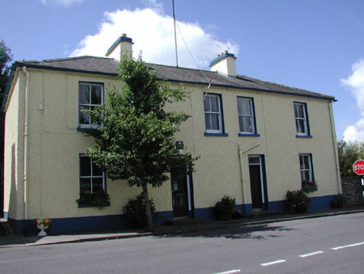 Keadew Garda Síochána Stationgarda station/constabulary barracks · 1.6 mi
 Turlough O'CarolanMemorial · 1.6 mi
 Knockranny WoodsForest · 1.6 mi
 Loughend IslandIsland · 1.8 mi
 Derreenargan WoodWood · 1.9 mi
 Orchard IslandIsland · 2.1 mi
 Kilronan MountainMountain / peak · 3.3 mi
 Arigna Mining ExperienceMuseum · 3.6 mi
 Josie McDermott MemorialMemorial · 3.7 mi