
What is recorded here
Situated on flat marshy land in close proximity to archaeological site (OF003-003----).
There was no surface remains of this area marked on the OS 6-inch map. The site however showed up as a cropmark on the aerial photographs taken in 1973 of the area (GSI N 486/5).
The above description is derived from the published 'Archaeological Inventory of County Offaly' (Dublin: Stationery Office, 1997). In certain instances the entries have been revised and updated in the light of recent research.
Compiled by Caimin O'Brien
Date of upload/revision: 19 December 2011
The monument record does not grant public access. Check the route and ask the landowner before entering private land.
- What survives
- Recorded monument
Places near here
 Settlement desertedSettlement deserted, medieval · 1592 yd
 Glenmore Holy WellsHoly well · 1.1 mi
 Croghan HillMountain / peak · 1.4 mi
 Church (in Ruins) Grave Yd.Church · 1.7 mi
 Finnrenashark Holy WellSpring · 1.7 mi
 OConor Falys or Croghan Castle (in ruins)House, fortified house · 1.7 mi
 Derrygreenagh HillMountain / peak · 1.8 mi
 Croghan Hill WalkVisitor information · 1.8 mi
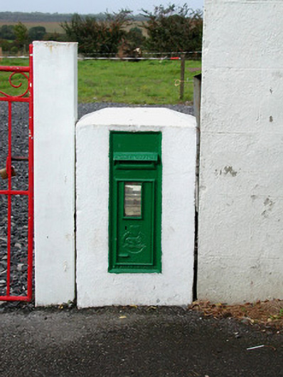 post boxpost box · 1.8 mi
 Knockdrin HillMountain / peak · 2.3 mi
 Site of Lady Mary Warrens CastleCastle, unclassified · 2.6 mi
 Holy PlantationForest · 3.2 mi
Other information
Photo: Credit not shown in the picture search · Rights wording not checked; contact us if this picture should be removed