What is recorded here
Indicated was a circular enclosure twenty to twenty-five metres across on a Mayo rise, mapped in 1837 and 1919 before quarrying dug out most of its interior. A narrow stone-faced arc still marks the NE-S boundary, while another short section hides beneath western overgrowth. The loss is brutal, but the remaining rim preserves the shape of a place that once stood complete beside its eastern neighbour.
In pasture, located on a rise. A road, on a NW-SE axis, skirts the rise at W−SW, and an old track, on a NW-SE axis, lies immediately to NW.
This enclosure is shown on the 1837 and 1919 OS 6-inch maps as a circular enclosure (diam. c. 20-25m), with the perimeter at NE−S incorporated into a field boundary. It has been almost completely destroyed by quarrying. The entire interior area has been dug out to a depth of over 2m, leaving a narrow arc (L c. 20) of the original enclosing scarp/field boundary at NE−S. This raised rim of extant scarp (Wth c. 2m; H c. 1m) is faced externally with stone, and is located on top of an almost vertical drop (H c. 1.7m) which represents the slope of the natural rise, now cut to a vertical face. A short arc of enclosing scarp (ext. H c. 1.2) also survives at W, obscured beneath overgrowth. Another enclosure (MA062-030----) is located 20m to E.
Compiled by: Jane O’Shaughnessy
Date of upload: 25 November 2020
The monument record does not grant public access. Check the route and ask the landowner before entering private land.
- What survives
- Recorded monument
Places near here
 bridgebridge · 1.2 mi
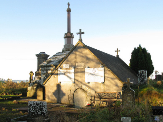 mausoleummausoleum · 1.3 mi
 Procession Of The SoulsMemorial · 1.6 mi
 Enclosure in LagcurraghEnclosure · 1.8 mi
 Brabazon WoodsForest · 1.9 mi
 HawthornHawthorn · 1.9 mi
 IndicatedFairy fort / earthen ringfort · 1.9 mi
 Youth Memorial GardenMemorial · 2.0 mi
 Hennigan's Heritage CentreHeritage attraction · 3.1 mi
 Castle (in Ruins)Castle, tower house · 5.0 mi
 Thorn CaveCave · 5.2 mi
 Kiltimagh MuseumMuseum · 8.4 mi