What is recorded here
The official Northern Ireland record identifies this as MULTI-PERIOD OCCUPATION SITE & BURNT MOUNDS (Fulachta Fiadh) - Late Mesolithic & Late Bronze Age - excavated as part of Gas Pipeline Project. Recorded period: BRONZE AGE; PREHISTORIC; MESOLITHIC. The official map point was placed at the centre of the recorded archaeological site from the source map reference.
Multi-period occupation site with burnt mounds (fulacht fiadh) dating to the Late Mesolithic and Late Bronze Age. The site provides evidence of long-term human activity and domestic or ritual use of heat-treated stone features in a landscape with limited prior archaeological documentation.
The monument record does not grant public access. Check the route and ask the landowner before entering private land.
- What survives
- Recorded monument
Places near here
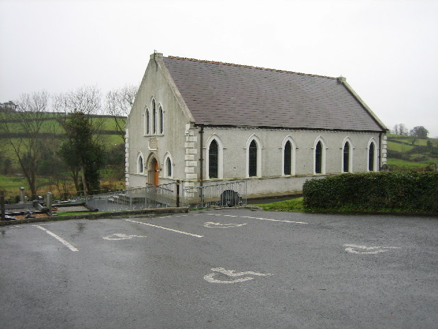 CHURCH SITE (unlocated) in BallydownCHURCH SITE (unlocated) · 414 yd
 MEDIEVAL DITCH & ENCLOSUREMEDIEVAL DITCH & ENCLOSURE, excavated as part of Gas Pipeline Project · 593 yd
 Swan IslandIslet · 1659 yd
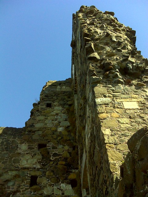 CASTLE: OLDERFLEET CASTLE or THE CURRAN CASTLE in Curran AND DrumalissCASTLE: OLDERFLEET CASTLE or THE CURRAN CASTLE · 1.2 mi
 Olderfleet CastleCastle · 1.2 mi
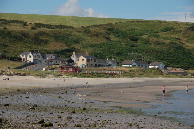 Browns bay walkBeach / strand · 1.2 mi
 MV Princess Victoria MemorialMemorial · 1.5 mi
 Princess Victoria MemorialMemorial · 1.5 mi
 Chaine MemorialLight House/ Navigation Mark · 1.7 mi
 North HeadHeadland · 2.3 mi
 Larne War MemorialMemorial · 2.3 mi
 Isle of MuckIsland · 2.3 mi