What is recorded here
Indicated was a thirty-metre fairy fort on a gentle north-facing slope in County Limerick, visible on the 1841 map but levelled into ordinary pasture before human memory faded. It may have marked a boundary, a burial place or a warning, yet the earth swallowed its purpose and shape. What remains is a absent circle, imagined through the gap where its bank should still stand.
In pasture, on gentle N-facing slope. Monument, depicted as embanked circular enclosure (diam. c. 30m) on 1841 OS 6-inch map, has been levelled. No trace of monument evident when inspected.
Compiled by: Denis Power
Date of upload: 26 August 2011
The monument record does not grant public access. Check the route and ask the landowner before entering private land.
- What survives
- Recorded monument
Places near here
 Ballydonohoe Househouse · 714 yd
 TobertehHoly well · 1043 yd
 Not shownEnclosure · 1217 yd
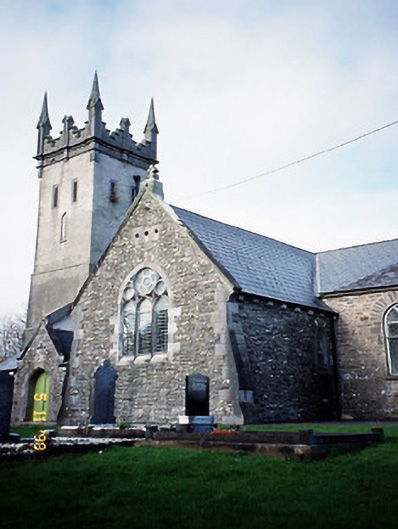 Saint Brendan's Church (Kilnaughtin)church/chapel · 1298 yd
 Tarbet BayBay · 1584 yd
 Tarmon Castle (in ruins)Castle, unclassified · 1.3 mi
 Glin CastleCastle · 2.4 mi
 Clonderalaw BayBay · 4.1 mi
 Mountshannon WoodWood · 4.2 mi
 Crag WoodWood · 5.1 mi
 St Senan's WellSpring · 5.2 mi
 Mountshannon EstateHeritage attraction · 5.4 mi