
What is recorded here
Cill (Site of) is a burial ground in Ballydonagh, County Waterford, Ireland. It is marked only on the 1927 edition of the Ordnance Survey six-inch map and sits in tillage on a southwest-facing slope. The ground is not visible at ground level, but a roughly rectangular annexe measuring about 83 metres from northeast to southwest and 33 metres from northwest to southeast adjoins the northwest quadrant of a larger enclosure. That larger enclosure lies immediately southeast of the burial ground and may be an ecclesiastical enclosure.
Marked only on the 1927 ed. of the OS 6-inch map as the site of a 'Cill', and situated in tillage on a SW-facing slope. It is not visible at ground level. A large enclosure (WA005-002001-), possibly an ecclesiastical enclosure, has been identified immediately SE of the burial ground. The burial ground itself appears to be located within a roughly rectangular annexe (dims. c. 83m NE-SW; c. 33m NW-SE) adjoining the NW quadrant of the larger enclosure. It was identified as a cropmark on Google Earth Pro imagery (imagery date 22 June 2018) by Jean-Charles Caillère.
The above description is derived from the published 'Archaeological Inventory of County Waterford' (Dublin: Stationery Office, 1999). In certain instances the entries have been revised and updated in the light of recent research.
Compiled by: Michael Moore and Jean Farrelly
Date of revision: 7 January 2020
The monument record does not grant public access. Check the route and ask the landowner before entering private land.
- What survives
- Recorded monument
Places near here
 EnclosureEnclosure, large enclosure · 100 yd
 Suirmount Housefarm house · 1132 yd
 Enclosure in GlashaEnclosure · 1192 yd
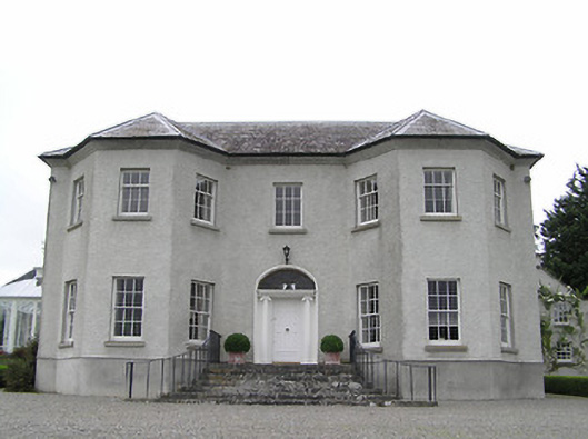 Kenilworth Housecountry house · 1243 yd
 European long distance path E8 - part IrelandWalking route · 1705 yd
 Castle Coonagh (in ruins)Castle, tower house · 1.6 mi
 IndicatedBawn · 1.9 mi
 Hybrid Black PoplarHybrid Black Poplar · 2.6 mi
 Deodar CedarDeodar Cedar · 2.9 mi
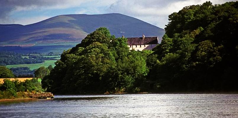 Laghtnafrankee SW TopMountain / peak · 4.4 mi
 Scrouthea HillMountain / peak · 4.5 mi
 Siege of Clonmelsiege · 5.1 mi
Other information
Photo: Credit not shown in the picture search · Rights wording not checked; contact us if this picture should be removed