What is recorded here
Embanked enclosure is a fairy fort or earthen ringfort in Ballydermody, County Waterford, Ireland. The northern part measures 29 metres northeast to southwest and 24.5 metres northwest to southeast, while its inner earth and stone bank reaches 1.7 to 1.8 metres high at the northwest. A separate outer bank runs southwest to northeast, joins the southern site, and may be incorporated into a field bank.
Situated in pasture towards the S end of a short N-S ridge. These are conjoined raths, both possibly bivallate, with abutting inner banks. The N rath is a subcircular grass-covered area (dims. 29m NE-SW; 24.5m NW-SE) defined by an earth and stone bank (at NW: Wth 2.3m; H 1.7-1.8m), with an outer earth and stone bank (at NW: Wth 1.8m; H 0.9m) SW-NE which also encloses the W part of the S rath and may be incorporated into a field bank NE-S. The entrance (Wth 4.2m) at NE is probably modern. The S rath (WA024-031001-) is attached to the SW.
Compiled by: Michael Moore.
Date of upload/revision: 16th May 2011.
The monument record does not grant public access. Check the route and ask the landowner before entering private land.
- What survives
- Recorded monument
Places near here
 Burnt mound in ArdnahowBurnt mound · 464 yd
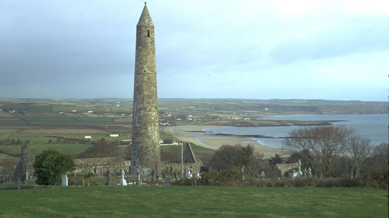 Enclosure in BallydermodyEnclosure · 620 yd
 presbytery/parochial/curate's housepresbytery/parochial/curate's house · 925 yd
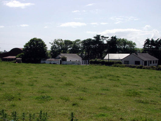 farmyard complexfarmyard complex · 1106 yd
 Fenor BogNature reserve · 1466 yd
 Ballyscanlon HillMountain / peak · 1.0 mi
 Castle (in ruins)Castle, tower house · 1.2 mi
 Dunhill CastleCastle · 1.2 mi
 Annestown monumentMemorial · 1.9 mi
 Lime KilnVisitor information · 2.4 mi
 Annestown BeachBeach / strand · 2.4 mi
 Kilfarrasy BeachBeach / strand · 2.5 mi
Other information
Photo: Credit not shown in the picture search · Rights wording not checked; contact us if this picture should be removed