What is recorded here
In pasture, located on the narrow top of a N–S ridge which provides good views in all directions.
This possible enclosure is not shown on the 1838 OS 6-inch map; on the 1930 edition, a D-shaped area (c. 25m N–S; c. 25m E–W) is outlined by a dashed line, bordered on the straight side to W by a N–S field boundary. The outline of the D-shaped area can no longer be traced. At the location is an area of disturbed ground incorporating an irregular-shaped depression (c. 12m NE–SW; 4-6m NW–SE; D 0.8m), partly infilled with stones, and with hazel trees growing in and around it. The N–S field boundary on its W side has been removed.
Compiled by: Jane O’Shaughnessy
Date of upload: 27 January 2020
This remains an important historical record, but the official description says the monument is no longer visible or has been destroyed. The monument record does not grant public access. Check the route and ask the landowner before entering private land.
- What survives
- No visible remains or recorded as destroyed
Places near here
 IndicatedFairy fort / earthen ringfort · 1250 yd
 Gull IslandIslet · 1411 yd
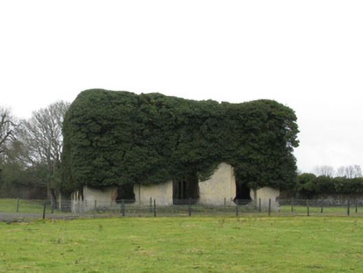 Carrowmore Housecountry house · 1561 yd
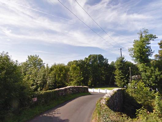 bridgebridge · 1618 yd
 Enclosure in Rathbaun (tirawley By., Kilbelfad Par.)Enclosure · 1.1 mi
 Cloghans CastleCastle, tower house · 2.0 mi
 Castle (in ruins)Castle, unclassified · 2.6 mi
 Battle of Ballinabattle · 2.6 miHumbert MonumentMemorial · 2.8 mi
 The Marshall Doran CollectionGallery · 4.0 mi
 Roe IslandIslet · 4.1 mi
 Belleek WoodsWood · 4.2 mi