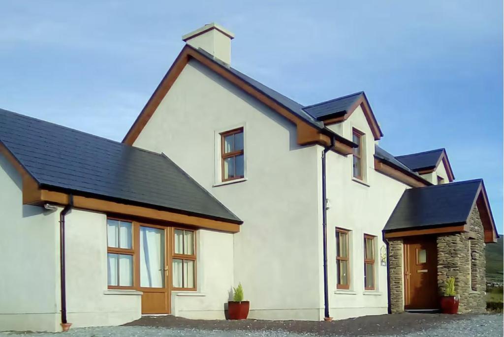
What is recorded here
Situated on a gentle SE-facing slope. A D-shaped bivallate area (int. dims. c. 30m; ext. dims. c. 55m) is visible as a cropmark on aerial photographs (ASIAP (57) 30-34). Both features are truncated by field banks at the N and W. The entrance is through both features at SE.
The above description is derived from the published 'Archaeological Inventory of County Waterford' (Dublin: Stationery Office, 1999). In certain instances the entries have been revised and updated in the light of recent research.
Date of upload/revision: 30 July 2010
The monument record does not grant public access. Check the route and ask the landowner before entering private land.
- What survives
- Recorded monument
Places near here
 Site of LiseamiskaFairy fort / ringfort · 400 yd
 Ballydavid Househouse · 660 yd
 Enclosure in DrominaEnclosure · 850 yd
 Church in Kilcop UpperChurch · 1023 yd
 Raheen StrandBeach / strand · 1.3 mi
 Dromina StrandBeach / strand · 1.6 mi
 Newtown HeadHeadland · 1.6 mi
 The Black Woman's RoadWalking route · 1.8 mi
 Ivory MemorialMemorial · 2.1 mi
 Castle (in ruins)Castle, tower house · 2.1 mi
 The Baldy ManViewpoint · 5.6 mi
 Memory of the crew of "Rescue 111"Memorial · 5.9 mi
Other information
Photo: Credit not shown in the picture search · Rights wording not checked; contact us if this picture should be removed