What is recorded here
Hachured is an unclassified ringfort in County Clare, Ireland, recorded for 1951-52. Its exact shape and purpose remain unknown because the survey data has not been uploaded. It may have been a farm, a fortress, or a boundary marker, but no human name or event is preserved. The land holds more than the archive has released.
The Archaeological Survey of Ireland (ASI) is in the process of providing information on all monuments on The Historic Environment Viewer (HEV). Currently the information for this record has not been uploaded. To access available information for research purposes please make an appointment in advance with the Archive Unit (open Fridays 10.00 am – 5.00 pm), Department of Housing, Local Government and Heritage, The Custom House, Dublin 1 D01W6XO or email NMarchive@housing.gov.ie.
The monument record does not grant public access. Check the route and ask the landowner before entering private land.
- What survives
- Recorded monument
Places near here
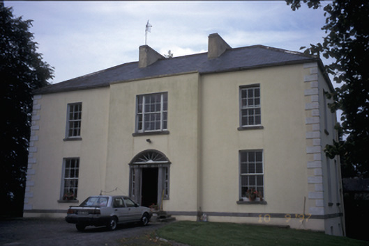 Ballycunneen Househouse · 341 yd
 Hachured (1951-52)Enclosure · 717 yd
 Enclosure in FirgroveEnclosure · 791 yd
 Drumline Castle (in Ruins) (1951-52)Castle, tower house · 867 yd
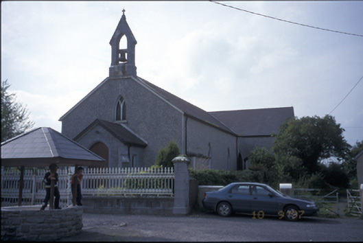 Catholic Church of Our Lady of the Wellschurch/chapel · 931 yd
 Smithstown/Ballynagowan Castle (in Ruins)Castle, tower house · 1.4 mi
 Atlantic Air VentureMuseum · 1.4 mi
 Sweet ChestnutSweet Chestnut · 1.9 mi
 Drummin PointHeadland · 2.2 mi
 Bunratty Castle and Folk ParkHeritage attraction · 2.2 mi
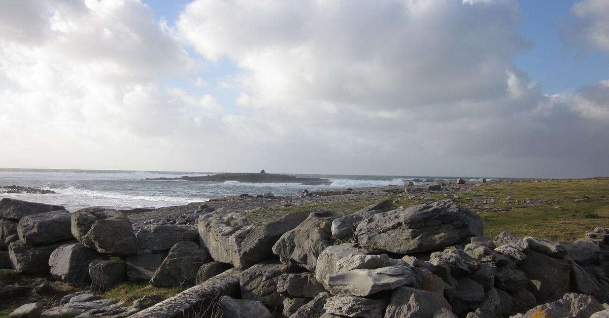 Illauninanagh PointHeadland · 2.2 mi
 Pan Am Flight 1-10aviation accident · 2.5 mi