What is recorded here
On a level area in the angle of a stream, at the foot of a steep NW-facing slope, in rough pasture. A small oval burnt spread (max. L 3.6m) uncovered in a drain during groundworks for a small forestry plantation. The spread was well defined and contained abundant heat-shattered stone in a matrix of charcoal-rich soil. Due to the small size of the spread, it is likely to have been for a single use and may represent a pot boiler. The spread has been preserved in situ within a 15m exclusion zone. Two burnt spreads (CL050-070001- and CL050-070002-) and two burnt pits (CL050-070003- and CL050-070004-) were excavated in an area 50-150m to the E and NE.
Compiled by: Mary Tunney with information from Alison McQueen
Date of upload: 24 April 2018
The monument record does not grant public access. Check the route and ask the landowner before entering private land.
- What survives
- Recorded monument
Places near here
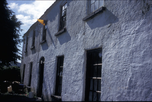 Ballycorick Househouse · 541 yd
 Hilltop enclosure in GortnamuckHilltop enclosure · 701 yd
 Ballycorick Bridgebridge · 739 yd
 LisduffFairy fort / earthen ringfort · 1108 yd
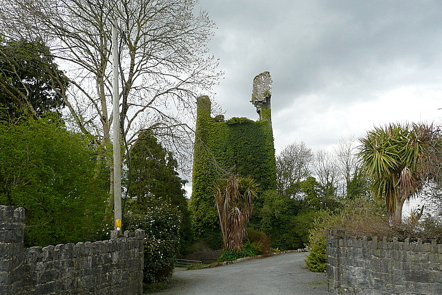 Dangan Castle (in Ruins)Castle, tower house · 1.2 mi
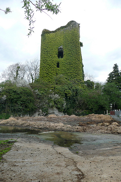 Dangan CasttleCastle · 1.2 mi
 Gull RockNamed rock · 2.1 mi
 Feenish PointHeadland · 4.3 mi
 Peadar Mac Fhlannchadha MemorialMemorial · 5.0 mi
 Killone AbbeyHeritage attraction · 5.1 mi
 Abbey WoodForest · 5.2 mi
 Alice and Gwendoline CaveMuseum · 5.7 mi