What is recorded here
Marked on the 1841 and 1908 editions of the OS 6-inch maps as a subcircular enclosure (max. diam. c. 40m NNW-SSE). No visible surface remains.
The above description is derived from the published 'Archaeological Inventory of County Laois' (Dublin Stationery Office, 1995) compiled by P. David Sweetman, Olive Alcock and Bernie Moran. In certain instances the entries have been revised and updated in the light of recent research.
Date of upload: 17 December 2007
The monument record does not grant public access. Check the route and ask the landowner before entering private land.
- What survives
- Recorded monument
Places near here
 Church in Park (stradbally By.)Church · 939 yd
 Kilbreedy CastleCastle · 1207 yd
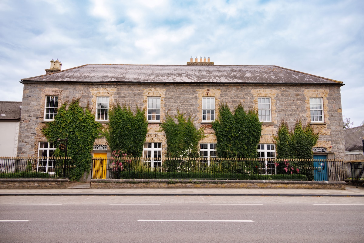 Enclosure in KilbreedyEnclosure · 1268 yd
 Church in KilcoranChurch · 1301 yd
 Enclosure in BallycoolidEnclosure · 1309 yd
 Donaghmore Castle ruinsCastle · 1505 yd
 Big WoodWood · 3.0 mi
 European PearEuropean Pear · 4.0 mi
 Cnoc SeanrathaMemorial · 4.6 mi
 DelaneyMemorial · 7.9 mi
 Anker's IslandIsland · 9.4 mi
 St. Bridgets Church (in Ruins)Church · 1462 yd