What is recorded here
Situated in a clear patch of coarse grassland in an area of limestone pavement and hazel scrub. Listed as ‘Cashel, possible’ in the SMR (1992) and the RMP (1996). On inspection in 1998 this was found to be a square area (20m x 20m) with a D-shaped area at E, all defined by drystone walls (Wth 0.8-1m). A circular enclosure is depicted very close to this on the OS 1st ed 6-inch map. It is unclear if CL008-005---- was in question or whether the depiction was misplaced and refers to CL008-004002- to the SE.
Compiled by: Mary Tunney
Date of upload: 9 February 2016
The monument record does not grant public access. Check the route and ask the landowner before entering private land.
- What survives
- Recorded monument
Places near here
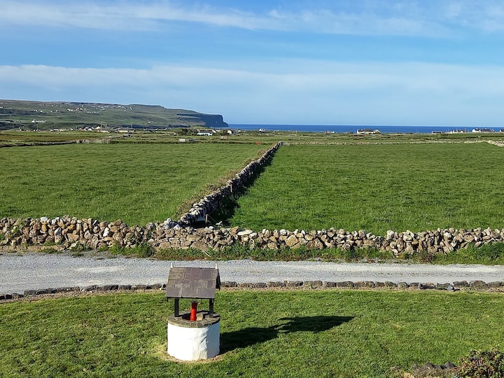 Enclosure in BallycahanEnclosure · 294 yd
 Enclosure in KillilaghEnclosure · 352 yd
 Catholic Church of the Holy Rosarychurch/chapel · 1409 yd
 CastleCastle, unclassified · 1415 yd
 Aran View SwalletCave · 1530 yd
 Roadford Bridgebridge · 1.0 mi
 Doonmacfelim Castle (in Ruins)Castle, tower house · 1.2 mi
 Fisherstreet PotCave · 1.2 mi
 Doolin PointHeadland · 1.4 mi
 Doolin FerriesHeritage attraction · 1.4 mi
 Wild Atlantic Way: Doolin PierVisitor information · 1.4 mi
 Ballaghaline PointHeadland · 1.6 mi