What is recorded here
Ballybutler is a small Irish townland where a forgotten windmill once stood, its precise location lost to time. The Down Survey mapped the area in 1655-6, capturing a moment when human hands shaped the landscape before memory faded. What remains is a ghost of purpose, a reminder that even ordinary places hold stories waiting to be recovered.
The Down Survey (1655-6) Barony map shows a windmill located towards the centre of what appears to be Ballybutler townland. The precise location of this windmill is not known.
The above description is derived from 'The Archaeological Inventory of County Cork. Volume 5' (Dublin: Stationery Office, 2009).
Date of upload: 22 December 2009
The monument record does not grant public access. Check the route and ask the landowner before entering private land.
- What survives
- Recorded monument
Places near here
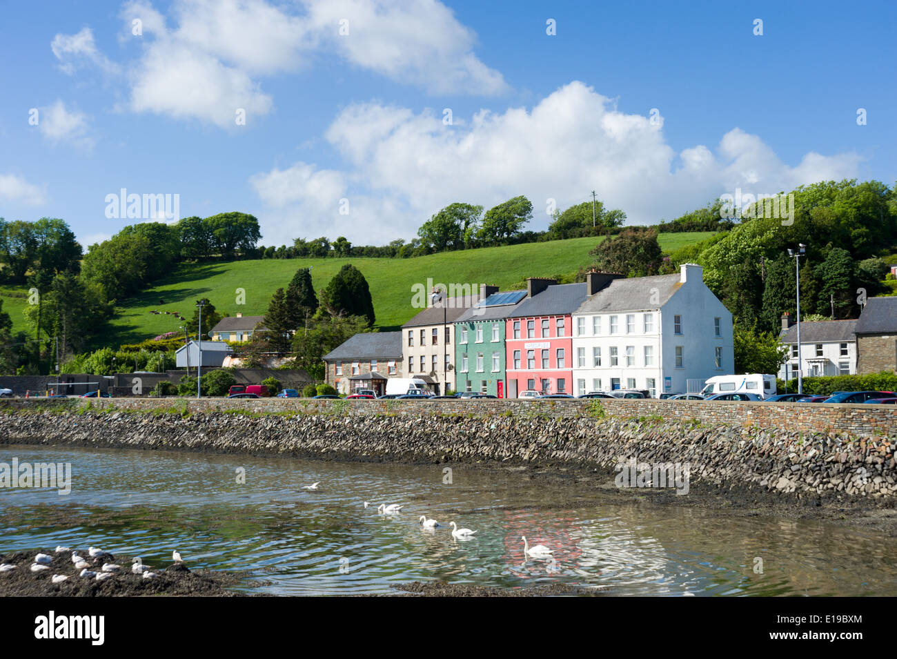 IndicatedHouse, vernacular house · 724 yd
 Enclosure in Garryvoe LowerEnclosure · 965 yd
 Garryvoe Church (in Ruins)Church · 995 yd
 Grave YardGraveyard · 1015 yd
 Garryvoe Castle (in Ruins)Castle, tower house · 1055 yd
 Castle (in Ruins)Castle, tower house · 1693 yd
 Garryvoe BeachBeach / strand · 1.6 mi
 Ballycotton Island (Small)Islet · 3.3 mi
 Ballycotton IslandIslet · 3.3 mi
 Mitchell's WoodWood · 3.4 mi
 P.N.L.B. Mary StandfordWreck · 3.4 mi
 Mary StandfordMemorial · 3.4 mi