
What is recorded here
Danish Fort appears on a 1774 map but vanished beneath tillage, leaving only a castle shadow on the earlier Down Survey. The earth swallowed the moat and walls while people continued planting above the forgotten shape. Distance and time erased the boundary between human making and natural ground.
In tillage, on level ground. A square enclosure named 'Danish Fort' is indicated on a 1774 map (no. 5) of the manors of Lismore, Lisfinny, Mogeely and Curraglass by B. Scalé (NLI MSS 7216-18). This possible moated site is not visible at ground level. A castle is indicated in this area on the Down Survey (1655-6) barony map . Another possible moated site (CO036-063----) lies c. 300m to the S.
The above description is derived from 'The Archaeological Inventory of County Cork. Volume 5' (Dublin: Stationery Office, 2009).
Date of upload: 22 December 2009
The monument record does not grant public access. Check the route and ask the landowner before entering private land.
- What survives
- Recorded monument
Places near here
 Quarry in CarrigmoreQuarry · 1.3 mi
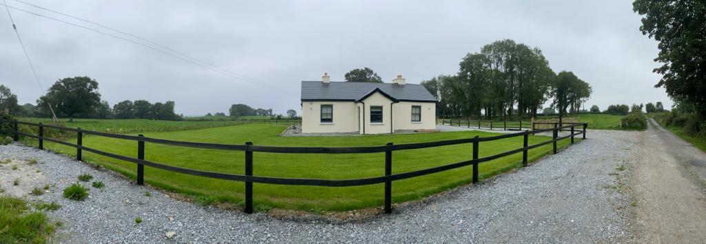 Fulacht fia in CoolbaunFulacht fia · 1.3 mi
 Ballyclough Burial GdGraveyard · 1.3 mi
 Country house in Kilmagner (condons and Clongibbon By.)Country house · 1.3 mi
 Conna Castle (in Ruins)Castle, tower house · 1.9 mi
 Conna CastleCastle · 1.9 mi
 Aghern CemeteryWood · 2.1 mi
 Castlebrook forestWood · 2.2 mi
 Natural heritage of CoolagowanVisitor information · 2.3 mi
 Life Space ParkPicnic place · 2.4 mi
 Graveyard in Curraheen (kinnatalloon By.)Graveyard · 2.6 mi
 Saint Micheal's Holy WellSpring · 3.5 mi
Other information
Photo: Credit not shown in the picture search · Rights wording not checked; contact us if this picture should be removed