What is recorded here
Fairy fort in Ballybrack, County Offaly: a 47-metre raised circle on a low hillock, its earthen bank still standing a metre high at the west while ploughs and time have shaved the rest to a scarp. The missing southern gap hints at an entrance, perhaps where people once entered or fled. In local story such places belong to fairies, but in human terms the shape suggests a small defended settlement, farmstead or ritual enclosure from the medieval or earlier period.
Situated on top of a low hillock in undulating countryside. Raised circular area (diam 47.2m N-S) enclosed by earthen bank (Wth 2m; ext. H 1m) best preserved at W elsewhere it is reduced to a scarp and external fosse (Wth 3m) visible at W only. No entrance feature was identified however the bank was destroyed at S where entrance may have been located. No other likely location for entrance feature at this site.
The above description is derived from the published 'Archaeological Inventory of County Offaly' (Dublin: Stationery Office, 1997). In certain instances the entries have been revised and updated in the light of recent research.
Date of upload: 23 May 2011
This remains an important historical record, but the official description says the monument is no longer visible or has been destroyed. The monument record does not grant public access. Check the route and ask the landowner before entering private land.
- What survives
- No visible remains or recorded as destroyed
Places near here
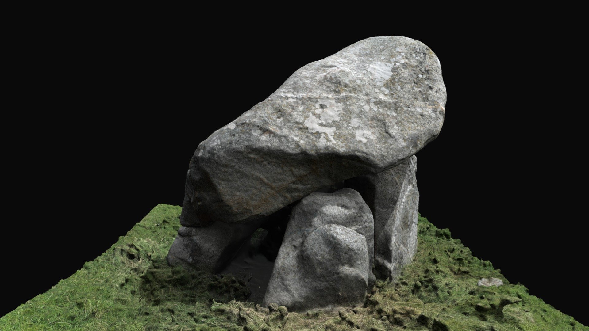 Enclosure in BallybrackEnclosure · 717 yd
 IndicatedCastle, unclassified · 983 yd
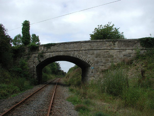 bridgebridge · 1554 yd
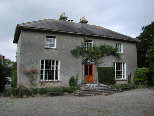 Clyduff Housefarm house · 1.0 mi
 Dotted lineBawn · 1.6 mi
 Settlement desertedSettlement deserted, medieval · 1.6 mi
 Coolock WoodForest · 1.9 mi
 White MulberryWhite Mulberry · 1.9 mi
 Eagle HillMountain / peak · 3.4 mi
 Roscrea Petty Sessions HouseHeritage attraction · 3.6 mi
 Golden Grove HillMountain / peak · 3.9 mi
 Thomas MacDonagh Heritage CentreMuseum · 6.8 mi