What is recorded here
Fairy fort / earthen ringfort in Ballybeg (clonlonan By.) is a fairy fort or earthen ringfort in Ballybeg (clonlonan By.), County Westmeath, Ireland. Situated in undulating pasture, the site was depicted on the 1837 edition Ordnance Survey 6-inch map as a circular-shaped earthwork north of a small settlement and a limekiln. A later 1910 edition Ordnance Survey 25-inch map shows it as a roughly circular-shaped earthwork approximately 25 metres to the northwest of the Athlone to Mullingar railway line. The levelled monument is visible on current Ordnance Survey Ireland aerial photography as a faint light-green coloured rectilinear-shaped cropmark.
Situated in undulating pasture. Depicted on the 1837 ed. OS 6-inch map as a circular-shaped earthwork to N of a small settlement and a limekiln. Depicted on the 1910 ed. OS 25-inch map as a roughly circular-shaped earthwork c. 25m to NW of the Athlone to Mullingar railway line. Levelled monument is visible today on OSi aerial photography as a faint light-green coloured rectilinear-shaped cropmark.
Compiled by Alison McQueen, Vera Rahilly and Caimin O’Brien.
Date of upload: 22 November 2019
The monument record does not grant public access. Check the route and ask the landowner before entering private land.
- What survives
- Recorded monument
Places near here
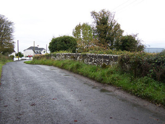 bridgebridge · 371 yd
 Partially indicatedFairy fort / earthen ringfort · 805 yd
 Crannog in BallynahinchCrannog · 1199 yd
 gates/railings/wallsgates/railings/walls · 1485 yd
 Faheeran Castle (ruins)Castle · 1.1 mi
 Partially hachuredBawn · 1.1 mi
 Moate HillMountain / peak · 2.4 mi
 Charles BianconiMemorial · 2.4 mi
 The Bob Traynor GalleryGallery · 2.5 mi
 Dún na Sí Heritage CentreMuseum · 2.9 mi
 Roughan HillMountain / peak · 3.3 mi
 ToberaskeenSpring · 3.5 mi