
What is recorded here
The remains of a roughly-circular enclosure which could be the remains of a possible ringfort are visible on Bing Maps aerial photograph (pers. comm. C. McCormack). No antiquity is depicted at this location on the 1837 ed. OS 6-inch map. On the 1910 ed. OS 25-inch map a curving field boundary which represents the enclosing element on the W side of the ringfort is depicted.
Compiled by: Caimin O’Brien
Date of upload: 14 February 2014
The monument record does not grant public access. Check the route and ask the landowner before entering private land.
- What survives
- Recorded monument
Places near here
 Crannog in BallynahinchCrannog · 520 yd
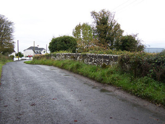 bridgebridge · 988 yd
 Faheeran Castle (ruins)Castle · 1652 yd
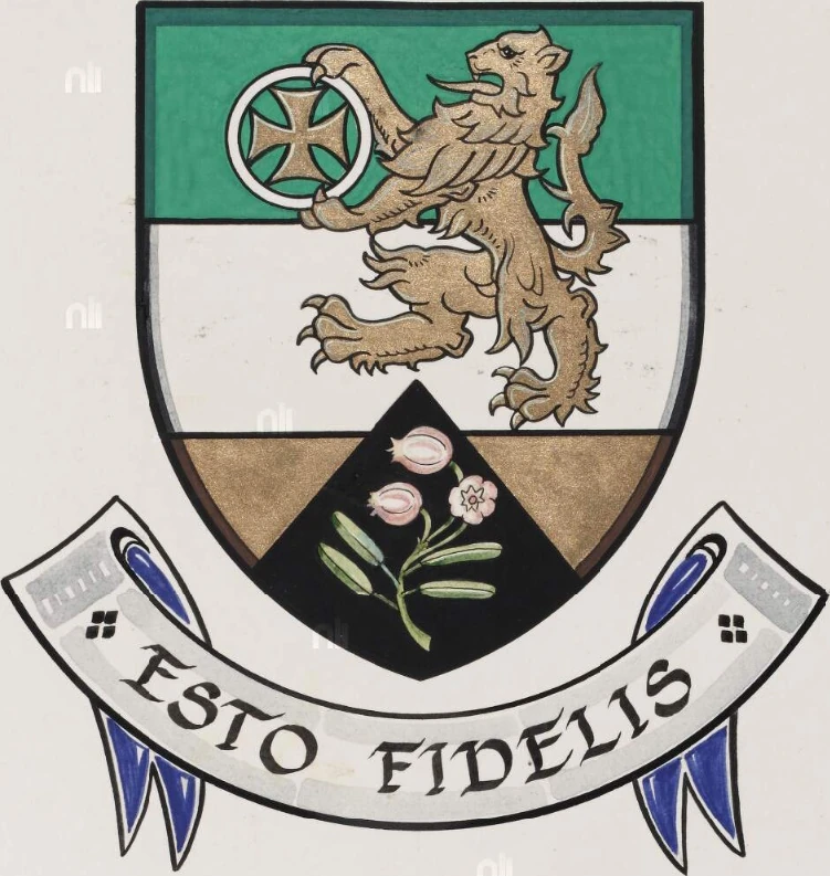 Partially hachuredBawn · 1657 yd
 Fulacht fia in KilcurleyFulacht fia · 1681 yd
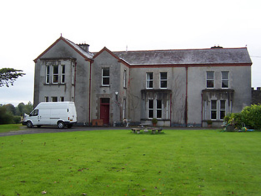 Ballinderry Housecountry house · 1699 yd
 Moate HillMountain / peak · 2.1 mi
 Charles BianconiMemorial · 2.2 mi
 The Bob Traynor GalleryGallery · 2.3 mi
 Dún na Sí Heritage CentreMuseum · 2.8 mi
 Roughan HillMountain / peak · 2.9 mi
 ToberaskeenSpring · 3.1 mi
Other information
Photo: Credit not shown in the picture search · Rights wording not checked; contact us if this picture should be removed