
What is recorded here
Testing was carried out by David Bayley of Irish Archaeological Consultancy Ltd under licence No. E2647 as part of an archaeological mitigation programme associated with the N6 Kilbeggan to Athlone dual carriageway. The site was identified during testing undertaken by Tim Coughlan of IAC Ltd in July 2005 (A016/029). The site was excavated in November 2005. Two excavation areas measuring 85m by 60m and 20m by 20m were opened. The site consisted of a spread of burnt-mound material which has been disturbed somewhat by agricultural activity. A possible subcircular structure was uncovered, represented by nine stake-holes, laid out in two rough lines. This possible structure was partially overlain by the burnt-mound material. Three pits were also uncovered; each had evidence of burning (Bennett 2010, 571).
Compiled by Caimin O'Brien
Date of upload/revision: 09 November 2011
The monument record does not grant public access. Check the route and ask the landowner before entering private land.
- What survives
- Recorded monument
Places near here
 Habitation site in ToberHabitation site · 361 yd
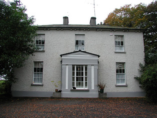 Spring Lawnhouse · 784 yd
 Fulacht fia in Burrow OR GlennanummerFulacht fia · 1021 yd
 Moyally Castle (in Ruins)Bawn · 1114 yd
 Catholic Church of the Holy Familychurch/chapel · 1441 yd
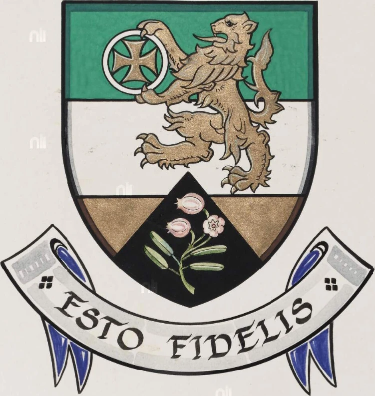 Partially hachuredBawn · 1705 yd
 Roughan HillMountain / peak · 1.9 mi
 ToberaskeenSpring · 2.1 mi
 Moate HillMountain / peak · 2.3 mi
 Charles BianconiMemorial · 2.5 mi
 The Bob Traynor GalleryGallery · 2.6 mi
 Dún na Sí Heritage CentreMuseum · 3.2 mi
Other information
Photo: Credit not shown in the picture search · Rights wording not checked; contact us if this picture should be removed