What is recorded here
Located on a terrace on a N-facing slope in the N foothills of Slieve na Calliagh ridge. This is a limestone upright with a roughly rectangular cross-section (dims 0.45m x 0.34m). It is generally aligned E-W with the crest sloping down to the E (H 1.5m). A second stone is lying prone beside it.
The above description is derived from the published 'Archaeological Inventory of County Meath' (Dublin: Stationery Office, 1987). In certain instances the entries have been revised and updated in the light of recent research.
Compiled by: Michael Moore
Date of revision: 1 November 2018
Likely dating to the Neolithic or Bronze Age, this standing stone may have functioned as a boundary marker, ritual monument, or astronomical alignment feature. No specific folklore or detailed local tradition is recorded for this site.
The monument record does not grant public access. Check the route and ask the landowner before entering private land.
- What survives
- Recorded monument
Places near here
 Enclosure in BallinvallyEnclosure · 297 yd
 Enclosure in Ballinvally,drumsawry OR SummerbankEnclosure · 400 yd
 indicatedChurch · 1028 yd
 CastleCastle, unclassified · 1032 yd
 Loughcrew Megalithic TombsHeritage attraction · 1425 yd
 Slieve Na CalliaghMountain / peak · 1521 yd
 LoughcrewMegalithic tomb cemetery · 1591 yd
 Carnbane WestMountain / peak · 1632 yd
 C11Named rock · 1637 yd
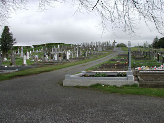 graveyard/cemeterygraveyard/cemetery · 1.5 mi
 Oliver Plunkett memorialMemorial · 1.5 mi
 Drumlerry WetlandForest · 1.6 mi