What is recorded here
Situated on a rock outcrop terrace on a NW-facing slope. This stone is limestone and has a rectangular cross-section (dims 0.6m NE-SW; 0.25m NW-SE; H 2m).
The above description is derived from the published 'Archaeological Inventory of County Meath' (Dublin: Stationery Office, 1987). In certain instances the entries have been revised and updated in the light of recent research.
Compiled by: Michael Moore
Date of revision: 1 November 2018
The monument record does not grant public access. Check the route and ask the landowner before entering private land.
- What survives
- Recorded monument
Places near here
 Enclosure in BallinvallyEnclosure · 769 yd
 Enclosure in Ballinvally,drumsawry OR SummerbankEnclosure · 861 yd
 CastleCastle, unclassified · 1120 yd
 indicatedChurch · 1126 yd
 Loughcrew Megalithic TombsHeritage attraction · 1.1 mi
 Slieve Na CalliaghMountain / peak · 1.1 mi
 C11Named rock · 1.2 mi
 Carnbane WestMountain / peak · 1.2 mi
 LoughcrewMegalithic tomb cemetery · 1.2 mi
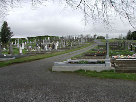 graveyard/cemeterygraveyard/cemetery · 1.3 mi
 Drumlerry WetlandForest · 1.5 mi
 Oliver Plunkett memorialMemorial · 1.7 mi