
What is recorded here
Indicated Sheepfold is a circular stone ringfort on a steep NW-facing slope of Patrickstown Hill, County Meath. Its grass-covered interior measures about 25.5 metres across and slopes downward toward the entrance at SSE. A low stone spread, four to five metres wide, still marks the boundary, with facing stones occasionally visible beneath the turf. The name suggests sheep, but the shape and setting speak of something older: a small defended place where people lived, kept fire, and watched the valley below.
Situated on a steep NW-facing slope of Patrickstown Hill on the N side of Slieve na Calligh ridge. This is a circular grass-covered area (int. diam. 25.5m NW-SE; c. 27m NE-SW) that slopes down to the NW. It is defined by a stone spread (Wth 4-5m; int. H 1m at SE (upslope) to flush at NW; ext. H flush upslope to 1.1m at NW), with facing-stones intermittently visible (original Wth 2.4m). The entrance (Wth 2.7m) is at SSE, and field stones are added to the perimeter. This monument was investigated by Rotheram (1899) who was disappointed at finding nothing apart from a rectangular house site (ME009-069001-) with a hearth on a stone base against the inner face of the perimeter at NE. The remains of this structure were not noted in 1969. Rath (ME009-068----) is c. 70m to the N, and standing stone (ME009-070----) is c. 65m to the E.
The above description is derived from the published 'Archaeological Inventory of County Meath' (Dublin: Stationery Office, 1987). In certain instances the entries have been revised and updated in the light of recent research.
Compiled by: Michael Moore
Date of revision: 1 November 2018
The monument record does not grant public access. Check the route and ask the landowner before entering private land.
- What survives
- Recorded monument
Places near here
 Cairn VArchaeological place · 781 yd
 Hag's ChairArchaeological place · 792 yd
 Loughcrew Megalithic TombsHeritage attraction · 795 yd
 Slieve Na CalliaghMountain / peak · 803 yd
 Oliver Plunkett memorialMemorial · 1272 yd
 Earthen TumulusCastle, motte · 1658 yd
 LoughcrewMegalithic tomb cemetery · 1.1 mi
 Carnbane WestMountain / peak · 1.3 mi
 C11Named rock · 1.3 mi
 CastleCastle, unclassified · 1.4 mi
 Drumlerry WetlandForest · 1.4 mi
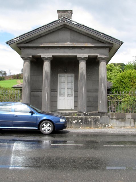 Loughcrew Housegate lodge · 1.7 mi
Other information
Photo: Credit not shown in the picture search · Rights wording not checked; contact us if this picture should be removed