What is recorded here
Fairy forts are often called forts because they are circular and have defensive-looking banks, but the name also records the belief that they belong to hidden people. In Ballintubbrid, the ring sits in open pasture with a broken bank, a narrow ditch and a waterlogged centre, while trees and bushes crowd the outside edge. The gaps may mark old entrances, abandoned exits or places where the boundary stopped mattering.
In level pasture. Circular area (32m N-S; 33.2m E-W) enclosed by earthen bank (int. H 0.5m; ext. H 1.65m) with external fosse (D 0.25m; Wth 1.7m); enclosing element overgrown with trees and bushes. Possible entrance where bank lowers WNW->W. Gaps in bank (Wth 2m-2.5m) at E, ESE, SE, S and NW. Field boundary runs N-S along outer line of fosse WSW->WNW. Interior level, waterlogged at centre and clear of overgrowth.
Compiled by: Denis Power
Date of upload: 26 August 2011
See attached ASI aerial photograph ASIAP – 324A/24 on 05/10/2002.
The monument record does not grant public access. Check the route and ask the landowner before entering private land.
- What survives
- Recorded monument
Places near here
 Holy well in Ballyshane (glenquin By.)Holy well · 528 yd
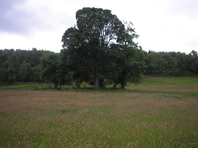 Burial GroundGraveyard · 1076 yd
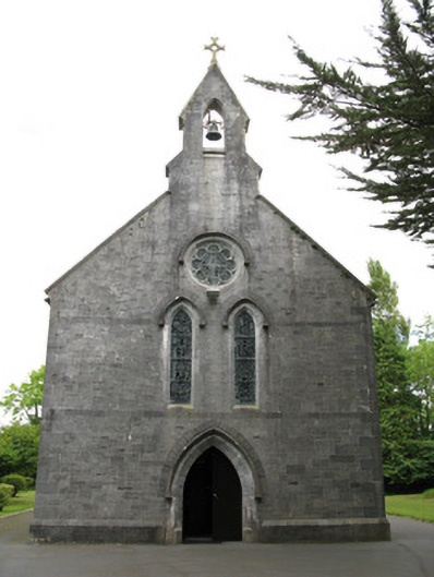 Saint Mary's Catholic Churchchurch/chapel · 1262 yd
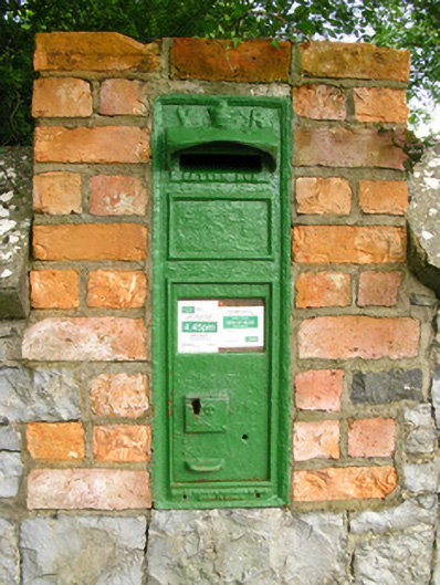 post boxpost box · 1290 yd
 Templars Castle (in ruins)Castle, Anglo-Norman masonry castle · 1.9 mi
 Dotted outlineBawn · 3.1 mi
 Limerick GreenwayWalking route · 3.1 mi
 Saint Ite's WellSpring · 3.2 mi
 Sugar HillMountain / peak · 3.5 mi
 TobereenalaffinaSpring · 4.0 mi
 Ballagh MountainMountain / peak · 4.2 mi
 Mullaghareirk - Banane LoopWalking route · 8.1 mi