What is recorded here
In upland area at the S edge of a conifer plantation , immediately W of the townland boundary with Killeen. Depicted on the 1897 ed. OSi 25-inch map as a trigonometrical station. Annotated ‘Carn’ on the Cassini ed. OSi 6-inch map where it is depicted as a roughly circular-shaped mound marking a spot height of 1243ft (378m). Faint trace of cairn visible on Digital Globe orthoimage taken between 2011-13.
See attached Google Earth orthoimages.
Compiled by: Martin Fitzpatrick
Date of upload: 2 September 2021
A portal dolmen dating to the Neolithic or early Bronze Age; its significance lies in its possible association with early survey mapping and as a surviving megalithic monument in an upland setting.
The monument record does not grant public access. Check the route and ask the landowner before entering private land.
- What survives
- Recorded monument
Places near here
 Earthwork in BallintoberEarthwork · 833 yd
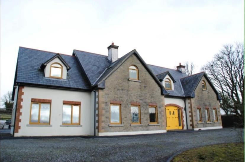 Enclosure in BallintoberEnclosure · 986 yd
 Ballintober Bridgebridge · 1079 yd
 Ballyhoura WayWalking route · 1642 yd
 Palatine's RockNamed rock · 1.0 mi
 SlievereaghMountain / peak · 1.3 mi
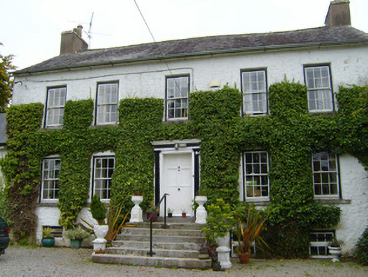 Spring Lodgecountry house · 1.6 mi
 Treada Na Ríogh (The Moat), hachuredCastle, motte · 2.0 mi
 Ballinvreena LoopVisitor information · 2.0 mi
 Castle (in ruins)Castle, tower house · 2.0 mi
 Ballyhoura tourist informationVisitor information · 2.1 mi
 Keale MountainMountain / peak · 2.8 mi