What is recorded here
A mechanical excavator broke through the western soil in 1979, revealing an L-shaped chamber hidden beneath the pasture. Drystone walls and heavy roof slabs formed two rooms linked by a narrow creepway, proving the fairy fort contained a deliberate underground refuge. The machine damaged the first chamber, yet the second survived with its corbelled upper courses and drainage cuts still visible. Human hands built that dark space long before the excavator arrived, shaping stone and earth to create a place where people could hide, store goods or simply breathe away from the storm above.
Internal diam. 25.5m.
This sub-circular univallate rath KE045-053---- with Man-made underground passage KE045-053001- is located on fairly level pasture land, c. 20m N of a small, E-W flowing tributary of the Owenascaul river. A 2nd rath is located about 150m to S within the same field. The external fosse shown on the 2nd edition of the OS map has been completely filled in, and the outer face of the bank has been scarped in a number of places. The earthen enclosing bank is a maximum of 1.7m high and its inner face is revetted with drystone masonry. The latter survives well at only a few points, but the presence of stone collapse indicates that it was probably originally continuous. The entrance faces NE and is 3m wide. The gap at NW is probably secondary. There is no visible trace of the clochaun previously noted in the interior (Ashe 1954, 21).
Souterrain: This was discovered in 1979 when a mechanical excavator was used to excavate a hole in the W part of the interior. It was inspected shortly afterwards by Kelly (1982-3, 7-11) and its condition has changed little since then. The surviving structure is roughly L-shaped in plan and consists of 2 rectangular chambers linked by a short creepway. Chamber 1 was extensively damaged by the mechanical excavator and consists now of a large rectangular hole aligned SW-NE. A portion of the drystone-built SW wall survives to a height of 1m. A porthole slab in the NW wall, near its SW end, provides access to the creepway which leads to chamber 2. The porthole is roughly rectangular and is .45m wide x .58m high. The drystone-built creepway is roofed by a single slab and measures .8m in length, .75m in width and .72m in height. Chamber 2 is aligned NW-SE and measures 3.22m in length, 1.37m in width and 1.55m in height. The upper courses of the drystone-built walls are slightly corbelled, and the chamber is roofed by 4 large slabs. Two drains lead away from the base of the NW wall. A fragment of a millstone which had formerly been built into the wall of chamber 1 was recovered from the bulldozed rubble (Kelly, 11).
The above description is derived from J. Cuppage, ‘Corca Dhuibhne. Dingle Peninsula archaeological survey. Ballyferriter. Oidhreacht Chorca Dhuibhne’ (1986), no. 305. In certain instances the entries have been revised and updated in the light of recent research.
Date of upload: 6 August 2013
This remains an important historical record, but the official description says the monument is no longer visible or has been destroyed. The monument record does not grant public access. Check the route and ask the landowner before entering private land.
- What survives
- No visible remains or recorded as destroyed
Places near here
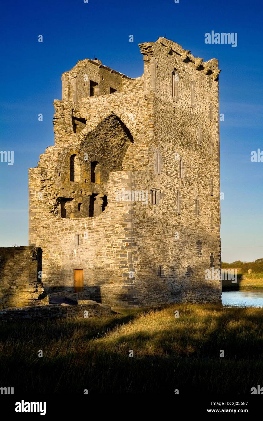 Man-made underground passage in BallintermonMan-made underground passage · 9 yd
 Jerome Connor MonumentMonument · 449 yd
 Brackloon Lodgehotel · 1529 yd
 Catholic Church of the Sacred Heartchurch/chapel · 1598 yd
 Statue of Our LadyHeritage attraction · 1.2 mi
 Jerome ConnorMemorial · 1.2 mi
 BrickanyMountain / peak · 1.6 mi
 Graveyard in BallynacourtyGraveyard · 1.7 mi
 Bunaneer StrandBeach / strand · 1.9 mi
 Glanteenassig Forest ParkForest · 2.9 mi
 Knockmulanane West TopMountain / peak · 3.2 mi
 Acres PointHeadland · 3.7 mi