What is recorded here
This possible crannog is shown on the 1838 OS 6-inch map as an island located c. 20m from the shore in the E end of a lake, named Mullafarry Lough. The lake has been drained and converted to an expanse of wet pasture, sections of which are planted with coniferous forestry.
In this expanse of damp pasture, a low grass-covered rise (c. 14m E–W; c. 12 N–S; H c. 0.7-1m) of firm ground can be discerned, with an apron (10m N–S) of slightly lower, firm ground curving around the N side. No features are visible that would confirm that it is a crannog. There is a castle (MA022-060---) 230m to WNW.
Compiled by: Jane O’Shaughnessy
Date of upload: 2 May 2019
The monument record does not grant public access. Check the route and ask the landowner before entering private land.
- What survives
- Recorded monument
Places near here
 Ballinteean CastleCastle · 275 yd
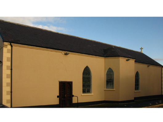 Catholic Church of the Holy Rosarychurch/chapel · 1283 yd
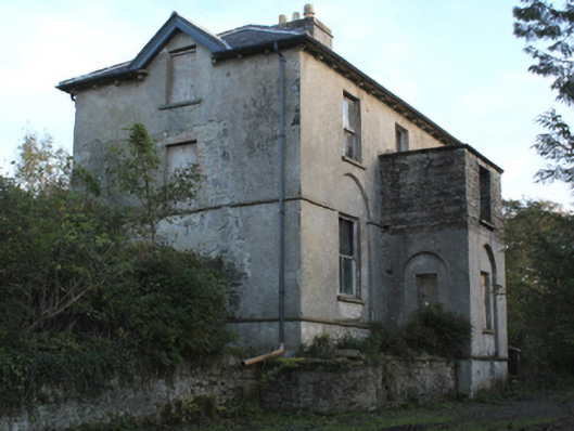 rectory/glebe/vicarage/curate's houserectory/glebe/vicarage/curate's house · 1493 yd
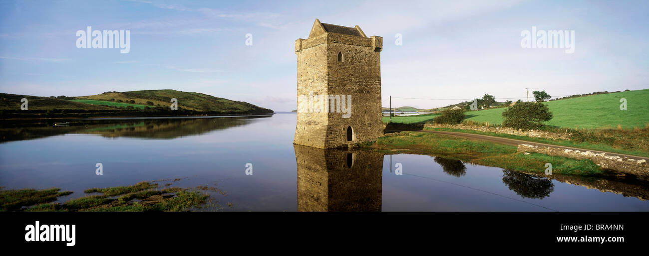 Cullahoof FortFairy fort / earthen ringfort · 1678 yd
 CastleCastle, unclassified · 1722 yd
 Battlefields of MoyneBattlefield · 2.1 mi
 Moyne AbbeyHeritage attraction · 2.2 mi
 Battle of Killalabattle · 2.3 mi
 Gortabradawn PointHeadland · 2.3 mi
 Green IslandIslet · 2.6 mi
 Barnasock PointHeadland · 2.6 mi