What is recorded here
Absent from both the 1838 and 1920 maps, the Ballintadder ringfort hides in plain sight beneath gently undulating pasture. Its broad oval measures thirty-four metres across, bounded by a scarp that rises nearly two metres on the east but flattens to a shallow lip on the west. The south interior holds irregular stony rises and hollows, suggesting buried chambers or collapsed walls rather than empty ground. A field wall now crosses the base at the south, marking where human convenience overwrote the old boundary. The fort never needed mapping because it never stopped being lived around.
In gently undulating pasture, located on a low rise, with good views.
This enclosure, possibly a rath, is not shown on 1838 and 1920 OS 6-inch maps.
It consists of a subcircular or broadly oval raised area (34.6m E–W; 28.2m N–S) defined by a scarp (Wth slope 7m, H 1.8m at ENE; Wth slope 2m, H 0.6m at W). The scarp remains well defined at SE–W, but it is lower and more irregular in outline at NW-NE.
The interior slopes gently down from NE to S. The surface is uneven and there are several hollow and irregular sod-covered stony rises in the S half, suggesting past disturbance.
An E–W field wall overlies the base of the scarp at S. It is known locally as a ‘fort’.
Compiled by: Jane O’Shaughnessy
Date of upload: 9 December 2020
The monument record does not grant public access. Check the route and ask the landowner before entering private land.
- What survives
- Recorded monument
Places near here
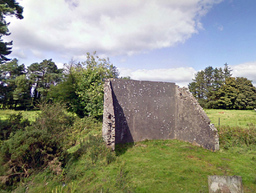 handball alleyhandball alley · 1554 yd
 Cloonfane National Schoolschool · 1.1 mi
 Enclosure in Lavy MoreEnclosure · 1.3 mi
 IndicatedFairy fort / earthen ringfort · 1.5 mi
 Old Cave Burial GroundArchaeological place · 2.0 mi
 Bockagh HillMountain / peak · 5.4 mi
 Casatle (ruins)Castle, unclassified · 7.2 mi
 Crunaun Castle (in ruins)Castle, unclassified · 7.8 mi
 Procession Of The SoulsMemorial · 9.0 mi
 Brabazon WoodsForest · 9.1 mi
 East Mayo Brigade MonumentMemorial · 9.1 mi
 Lough Talt TrailVisitor information · 11 mi