
What is recorded here
The fairy fort or ringfort in Ballinlug is in County Westmeath, Ireland. This site lies in fairly level pasture where the land rises to the east and southeast. It was shown as a circular shaped enclosure on a 1776 estate map, depicted with a double dotted circle representing a possible ringfort, and appeared as a similar feature on an 1837 Ordnance Survey Fair Plan map. An ASI field report from 1983 recorded that there were no surface remains visible of this enclosure.
Situated in fairly level pasture, with land rising to E and SE. Shown on 1776 estate map (NLI, MS 21 F. 48 (26)) as a circular shaped enclosure depicted with a double dotted circle representing a possible ringfort. Depicted as a similar feature on 1837 OS Fair Plan map. Partially depicted as a curving field boundary to W of farm building on the 1837 OS 6-inch map. An ASI field report of 1983 recorded that there was no surface remains visible of this enclosure. Monument not visible today on Digital Globe aerial photography.
Compiled by: Alison McQueen, Vera Rahilly and Caimin O’Brien
Date of upload: 20 December 2018
The monument record does not grant public access. Check the route and ask the landowner before entering private land.
- What survives
- Recorded monument
Places near here
 Partially hachuredFairy fort / ringfort · 670 yd
 Ancient Ring FortWood · 719 yd
 Mweeleen MoatArchaeological place · 762 yd
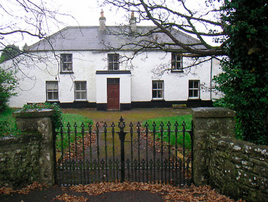 Ballyglass Househouse · 1023 yd
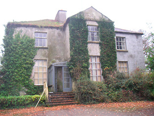 Rathconrath Houserectory/glebe/vicarage/curate's house · 1161 yd
 RathconrathCastle, motte · 1294 yd
 Milltown Castle in ruinsCastle, unclassified · 1432 yd
 Hill of UisneachMountain / peak · 2.9 mi
 Sessile OakSessile Oak · 4.9 mi
 Abbeyshrule AbbeyRuins · 6.0 mi
 Guest ServicesVisitor information · 7.2 mi
 Goldsmith Birthplace, PallasVisitor information · 7.4 mi
Other information
Photo: Credit not shown in the picture search · Rights wording not checked; contact us if this picture should be removed