What is recorded here
A hachured feature marked on the 1945-6 revision of the OS 6-inch map proved on inspection to be a natural gravel mound and not an archaeological monument.
Compiled by: Olive Alcock
Date of upload: 21 April 2015
The monument record does not grant public access. Check the route and ask the landowner before entering private land.
- What survives
- Recorded monument
Places near here
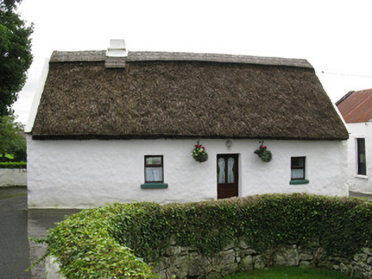 farmyard complexfarmyard complex · 309 yd
 Boilingbrook FortBastioned fort · 803 yd
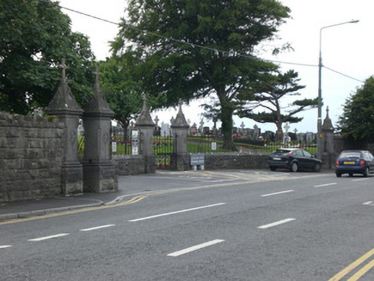 Bohermore Cemeterygates/railings/walls · 814 yd
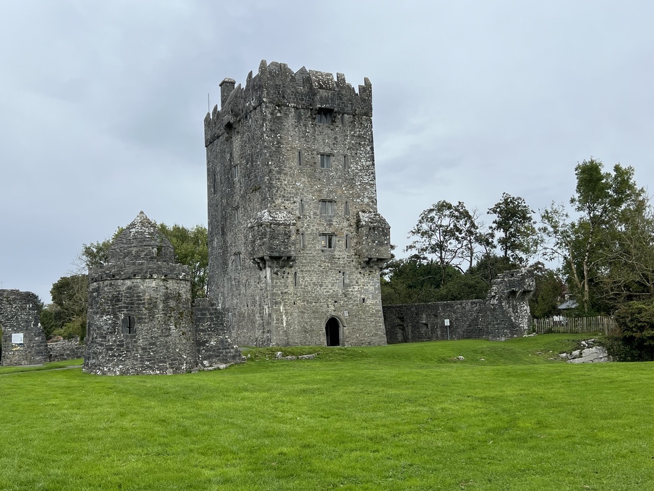 Bastioned fort in Townparks (galway By., St. Nicholas Par.)Bastioned fort · 882 yd
 Cooper's CaveCave · 1040 yd
 Royal Tara Visitor CentreHeritage attraction · 1321 yd
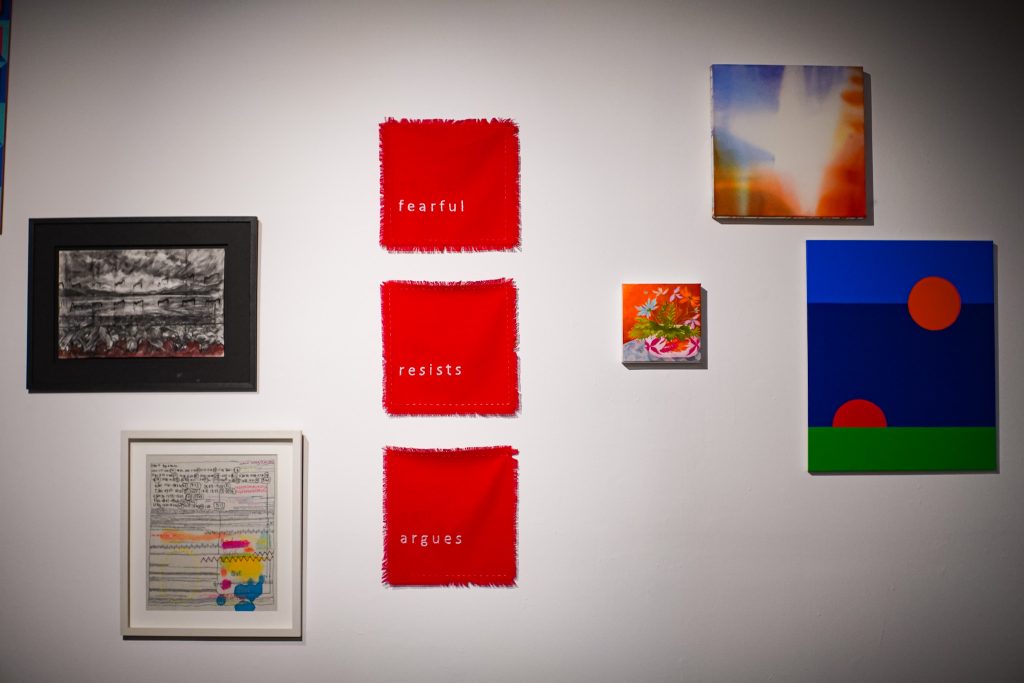 126 Artist-Run GalleryGallery · 1604 yd
 Castle Gar in ruinsCastle, tower house · 1652 yd
 Seán DugganMemorial · 1706 yd
 Terryland CastleCastle · 1734 yd
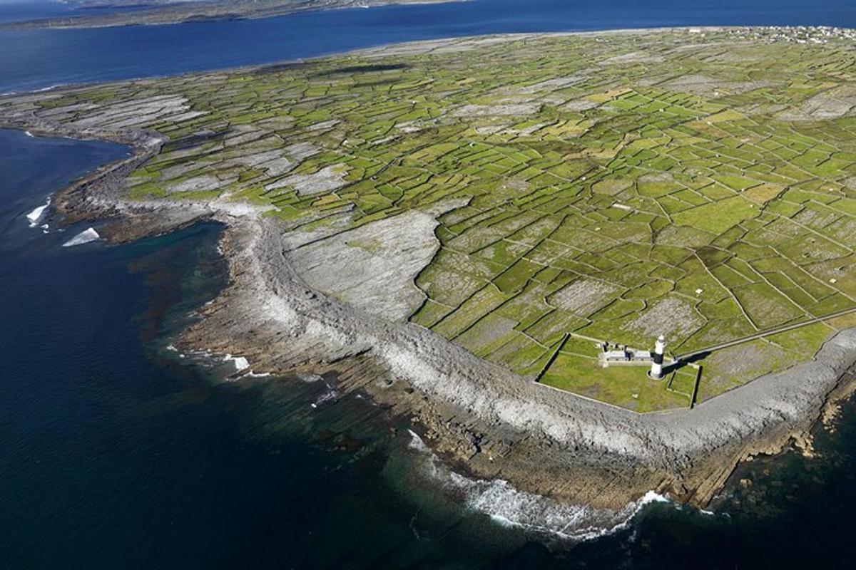 Jordan's IslandIslet · 1.0 mi
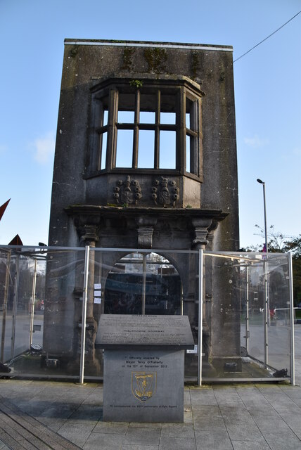 Browne DoorwayVisitor information · 1.1 mi